

After being laid off from my full-time job, I made the decision to hit the road and explore places I’ve longed to visit, far beyond the constraints of a typical two-week vacation.
With Laos receiving praise from many, I determined it would be my first destination to thoroughly explore.
I have a lot more media (one reel a day) available on my Instagram account about this adventure.
I flew to Vientiane during the Pi Mai, the biggest holiday of the year, which delayed my departure.
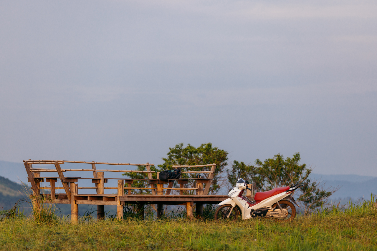
Securing a motorcycle in Vientiane is relatively straightforward but comes with a considerable cost. I paid $200 USD for a one-month rental of a low-mileage Honda Wave 125i. If you opt for a dirt bike, such as the CRF 250, be prepared to spend upwards of $750 USD.
The full Gallery is here.
I started the road trip on April 18th. The initial destination I aimed to explore was Thakhek, yet it’s quite a journey from Vientiane. After a four-hour drive, I had to make a sleep stop in Paksan, along the Mekong.
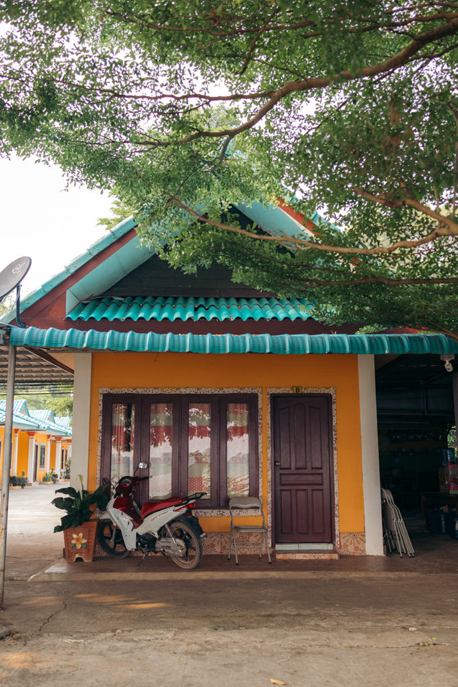
I stayed at “Moumsabai Guest House’. Can’t complain about it, for the price. 6$USD.
You can see more about this day on this Reel.
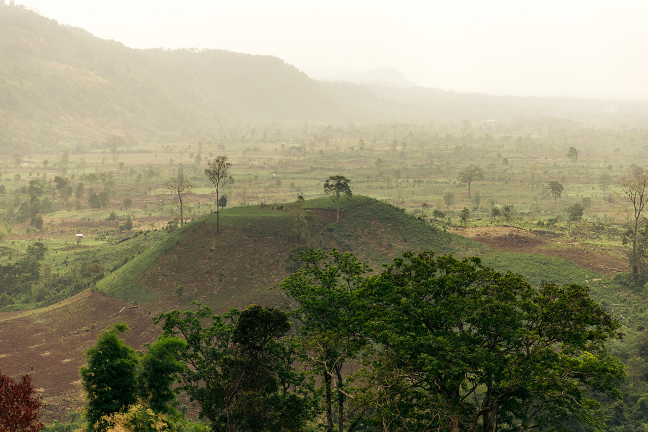
The following day, I continued my journey towards Thakhek, covering another four-hour stretch.
After chilling for a bit I drove 15 minutes away from town to check out the area and take some photos.


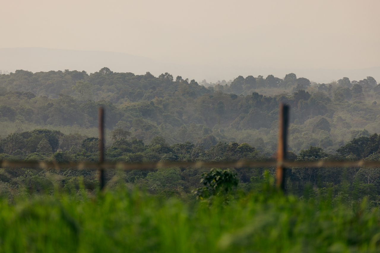
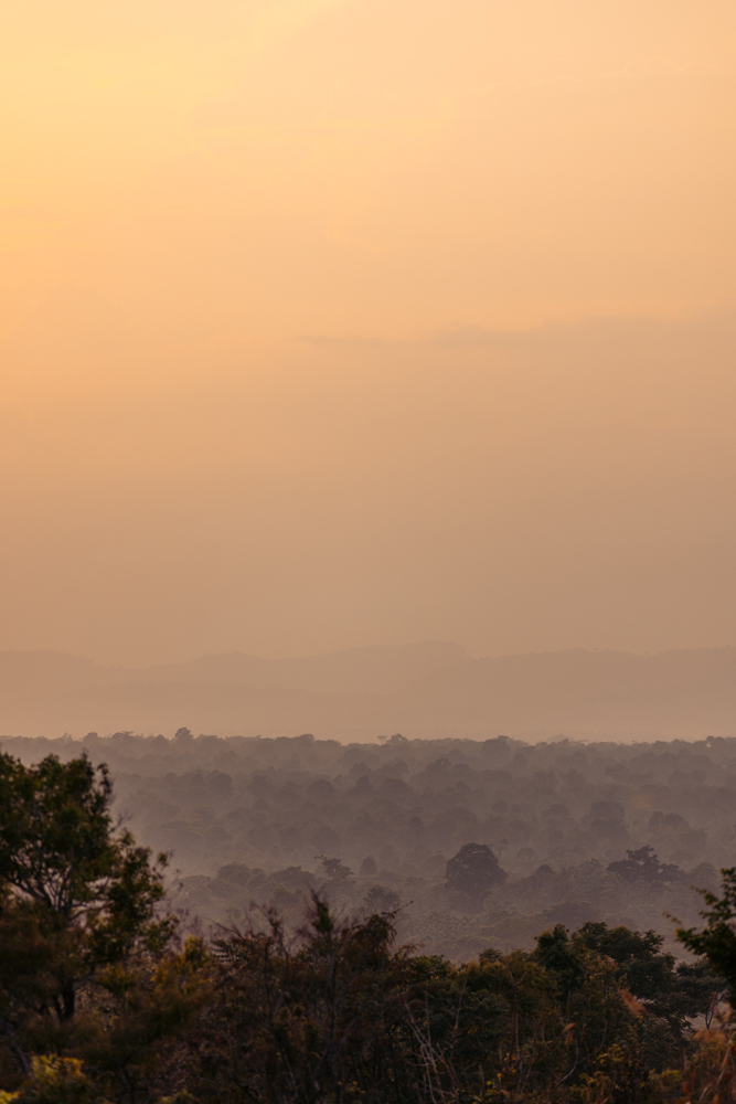
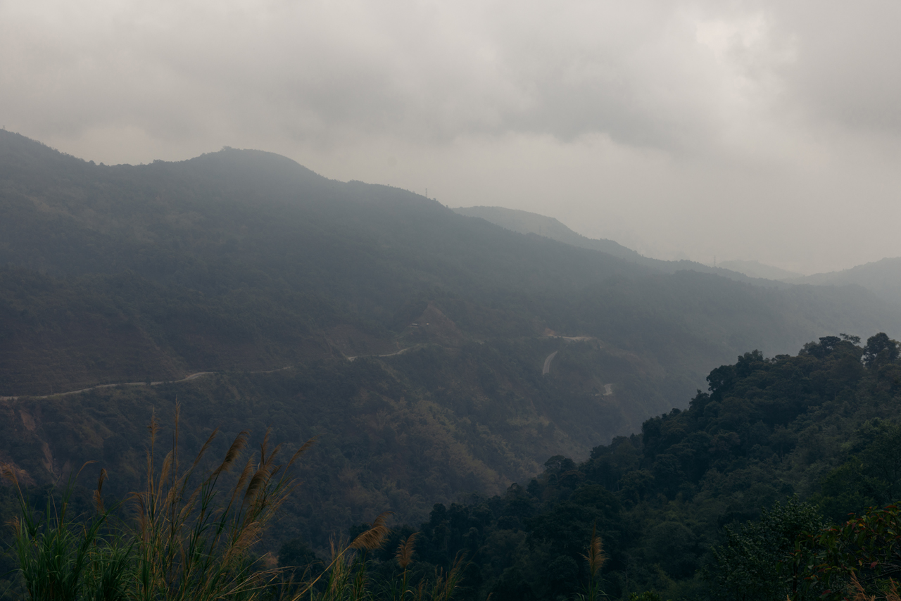
The visibility was significantly compromised due to a heatwave and the pollution resulting from the field burning season.
The reel from day 2 can be found here.
Thakhek is famous for its loop. I decided to come back later to do it because of the visibility issues. I extended my stay for a second day to explore the Tham Nang Aen Cave, located just 30 minutes outside the city.

There are a lot of man-made things in the cave but it’s still a cool spot to visit. I explored the area between the cave and the city on my motorcycle.

I chose to continue my journey southward, where the pollution maps indicated lower pollution levels and improved visibility.
I cruised at full throttle on the Wave 125i for the extended journey from Thakehk to Pakse, a ride that lasted over seven hours.

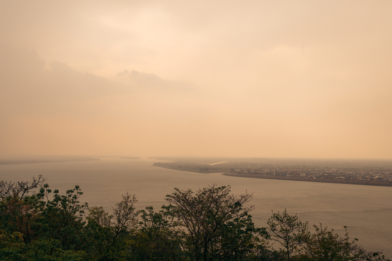
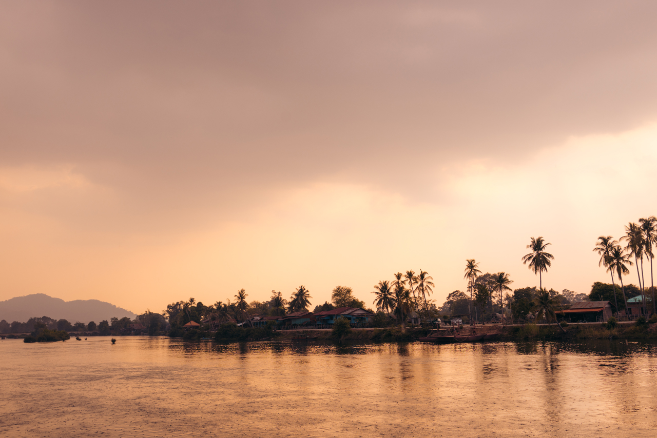
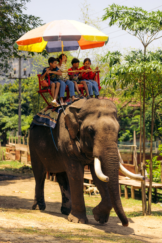
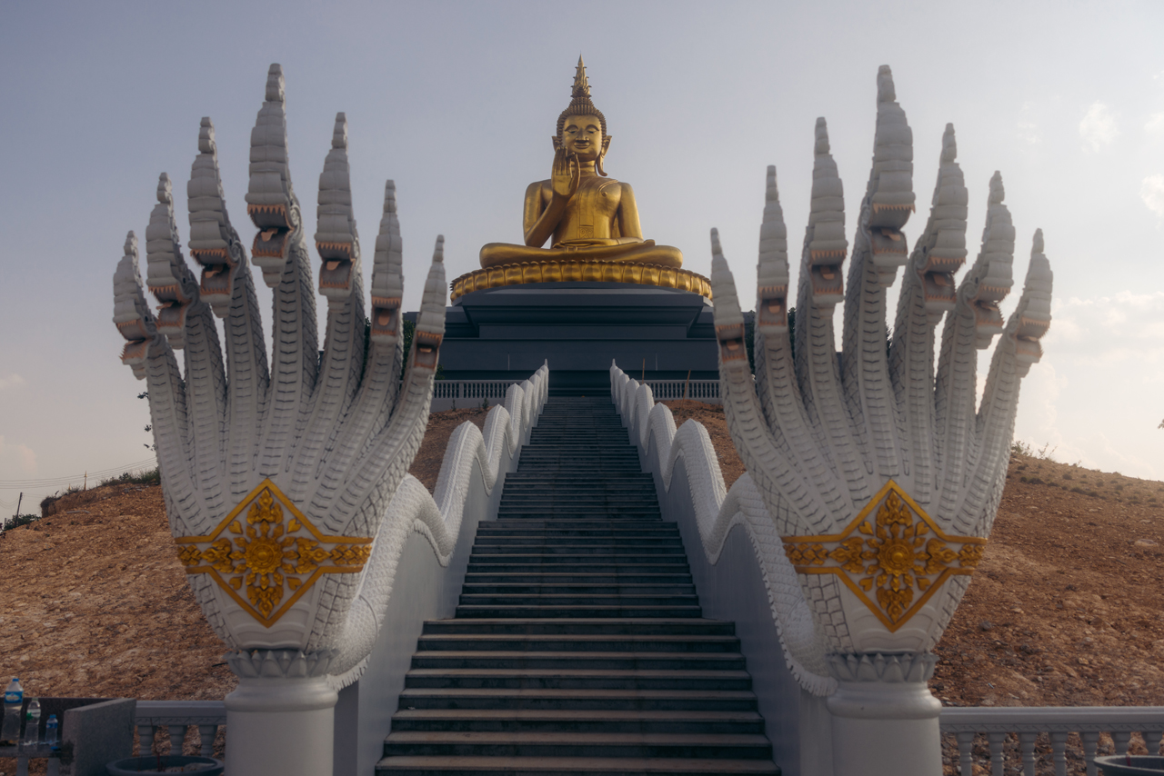
Went up to check out the buddha statue across the Mekong river in Pakse.

The view of Pakse from the Buddha statue:

The link to the Instagram Reel for this day.
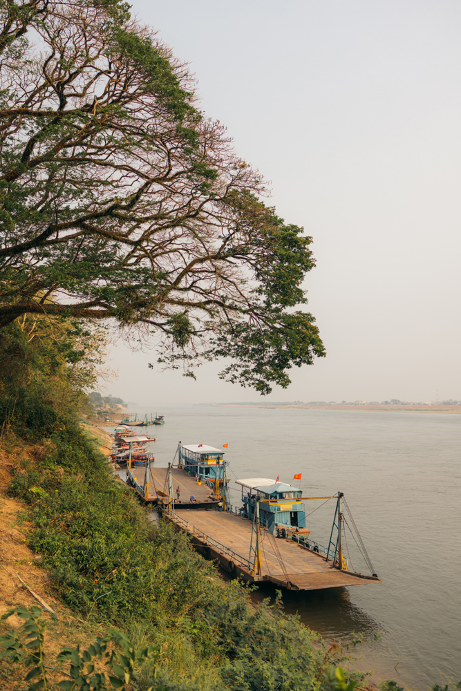
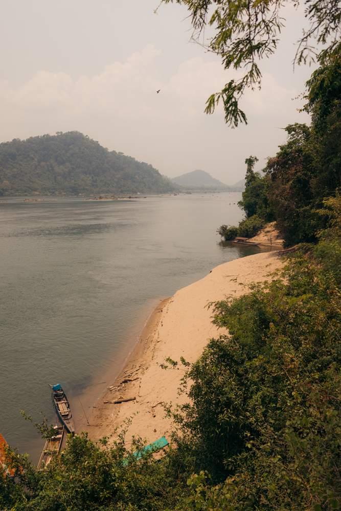
Pakse served as a brief overnight halt before continuing towards the Cambodia Border, specifically to a destination known as Si Phan Don, or in English, the 4000 Islands.
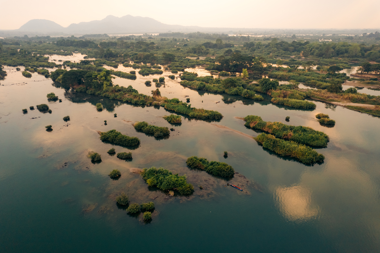
I spent three nights on the island of Don Khon, and Dokchampa Guesthouse provided a delightful accommodation experience during my stay.
Here are some photos of the area.

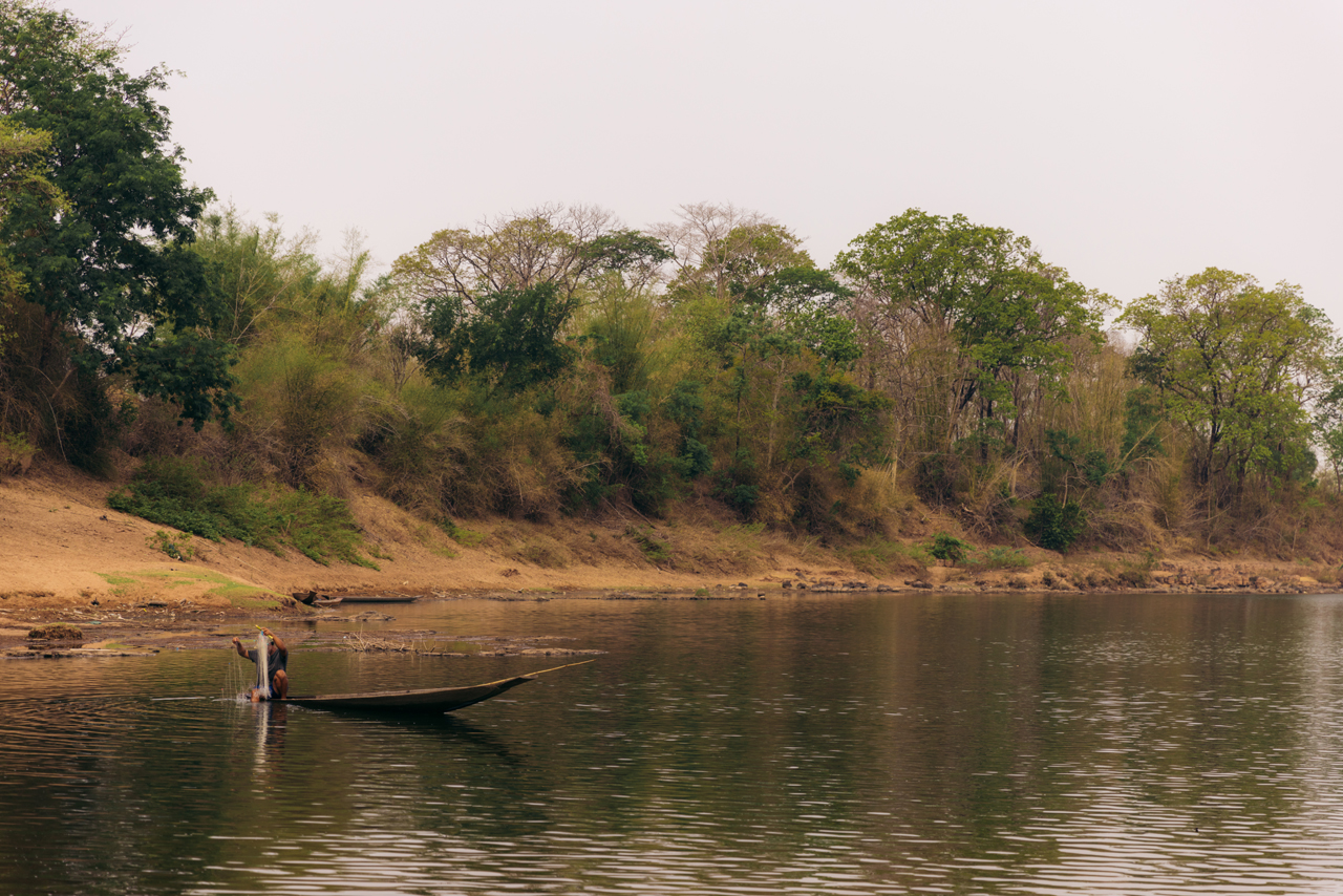
The simple riverside life.
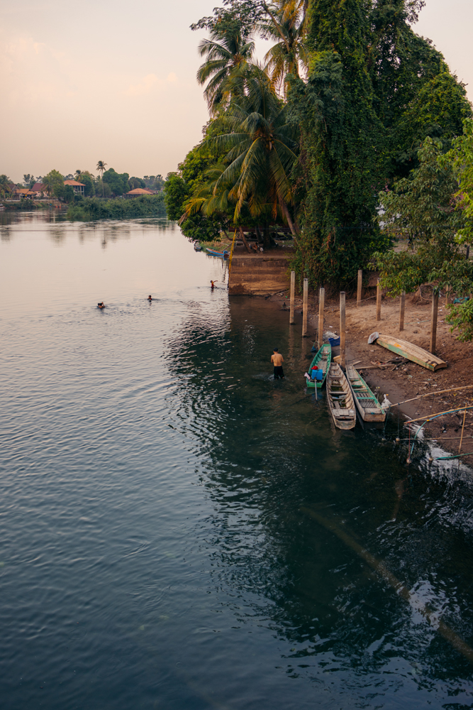
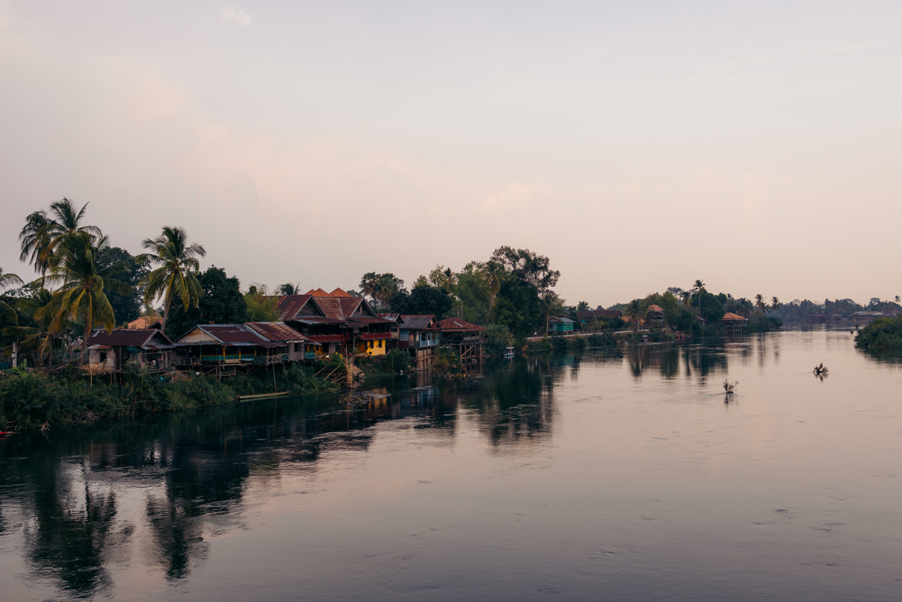
While this area attracts many tourists, it still retains a tranquil ambiance, particularly on Don Khon.
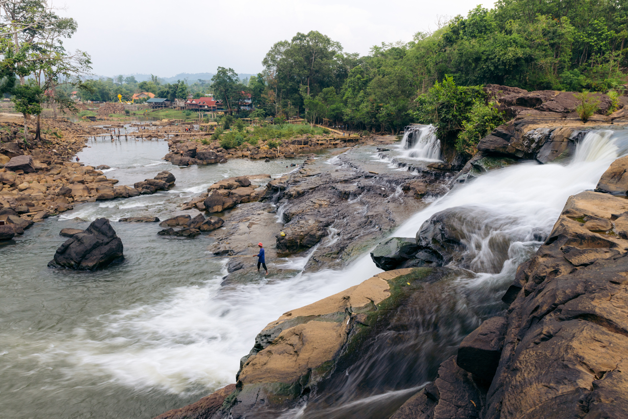
One of the best attractions around there is Li Phi Somphamit Waterfalls.
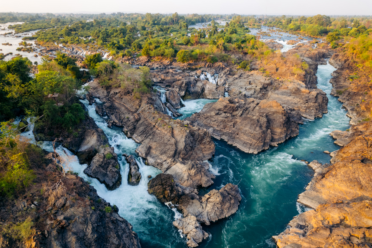
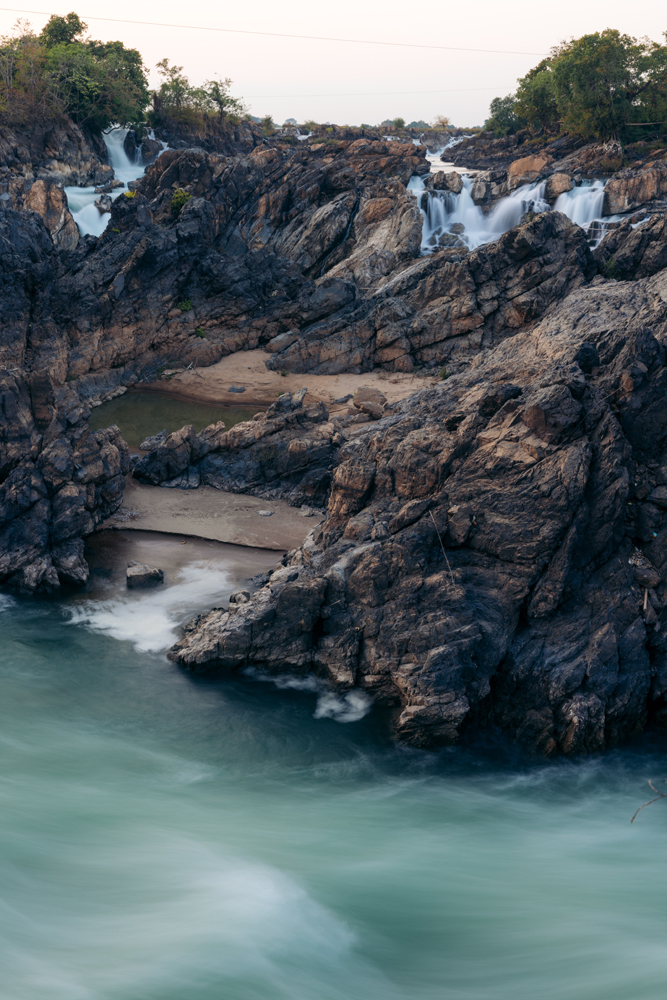


The area was still in the grips of an intense heatwave during my visit, posing challenges for exploration as the thermometer approached 50 degrees. Nevertheless, here are additional photos capturing the essence of the surroundings.

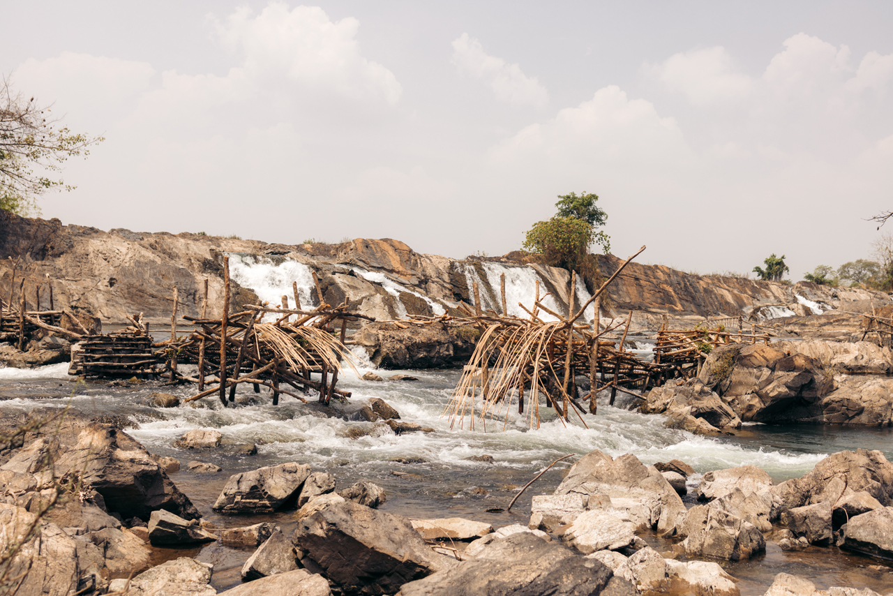
These structures are fish traps, employed by the locals to secure a plentiful catch of fish in the area.
The 2 reels for these days can be found here. First, and second.
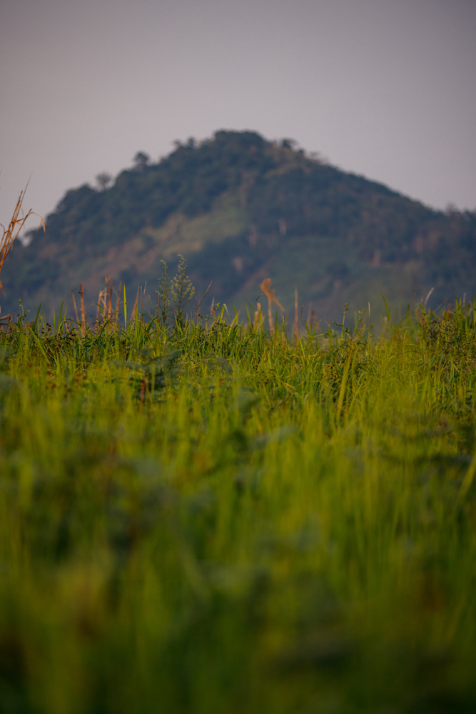
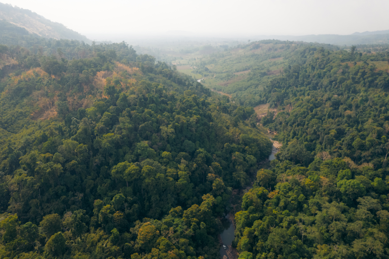
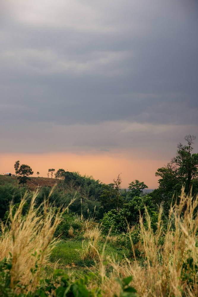
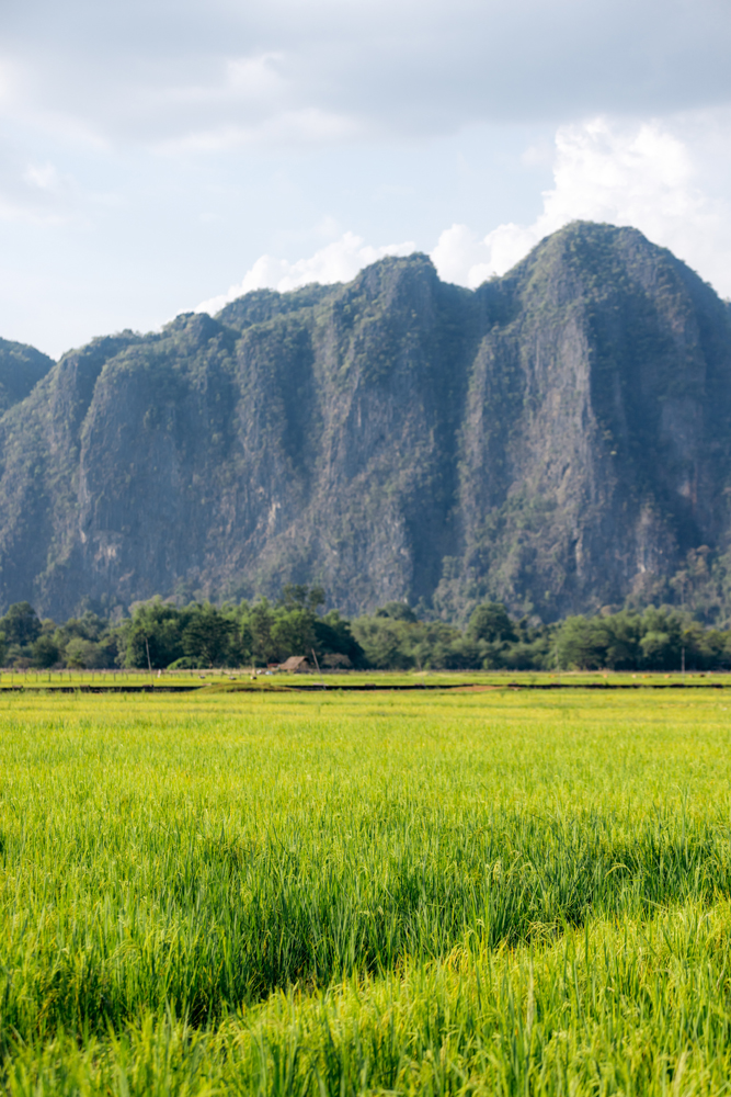
The following day, I headed back north, initially towards Pakse, and then embarked on the “Bolaven Plateau loop”. The plateau is 1000 meters above see level and the weather felt much better.
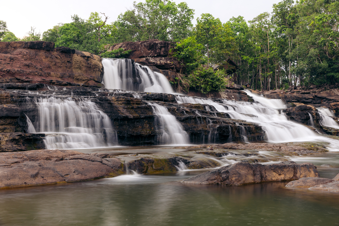
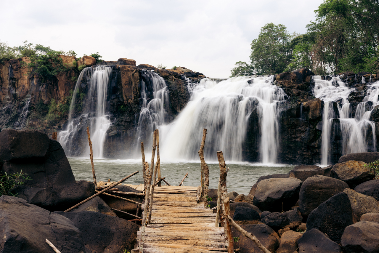
I made it to Paksong, and visited 3 waterfalls that day.
First one, Tad Fane Waterfall.

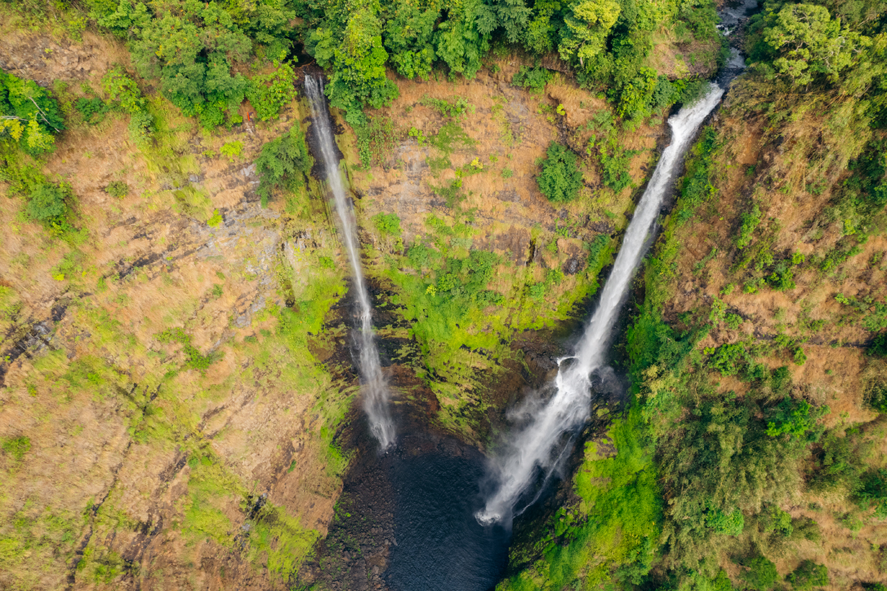
The second one, Tad Champee Waterfall.


And finally the third waterfall of the day, Tad Gneuang Waterfall.

You can see why they call this area a plateau:

The following day, I relocated to a nearby spot, Mystic Mountain Coffee, a coffee plantation offering rooms for rent. It’s quite a unique and cool setup.
I spent the majority of my time relaxing at the plantation, just taking it easy and enjoying the day.

And here’s the reel for this day.
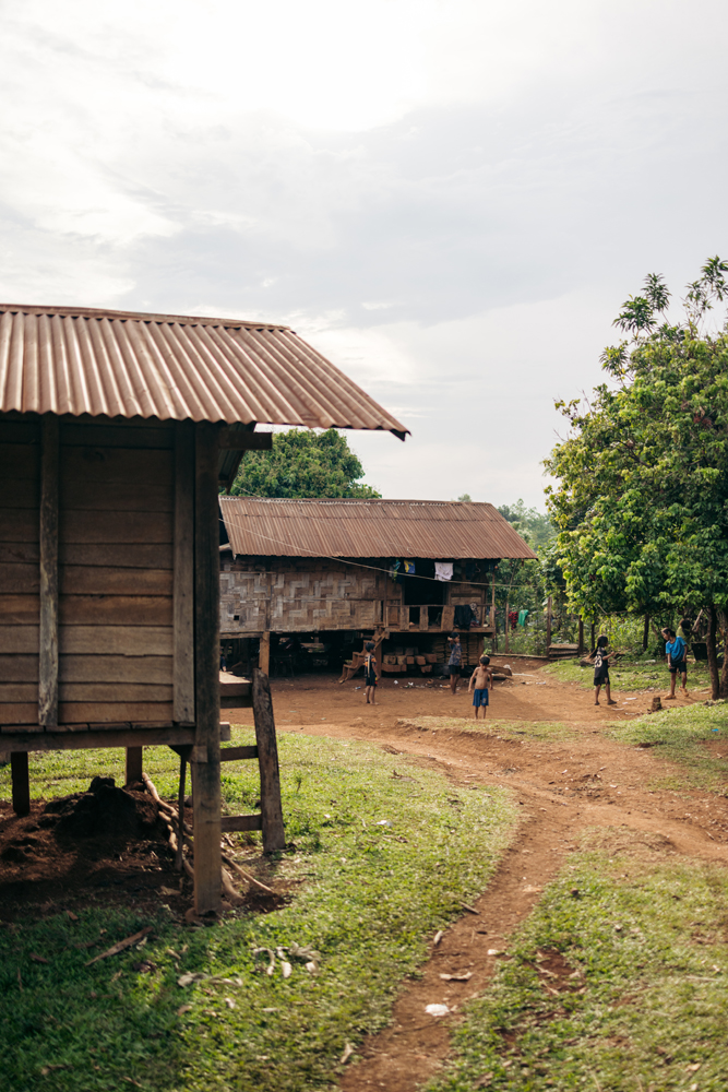
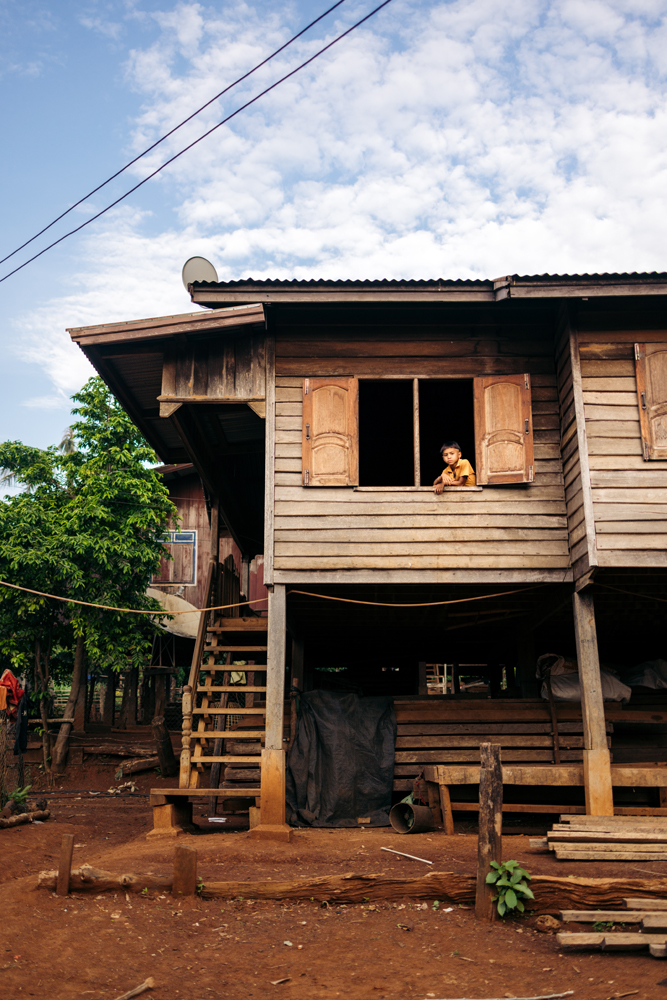
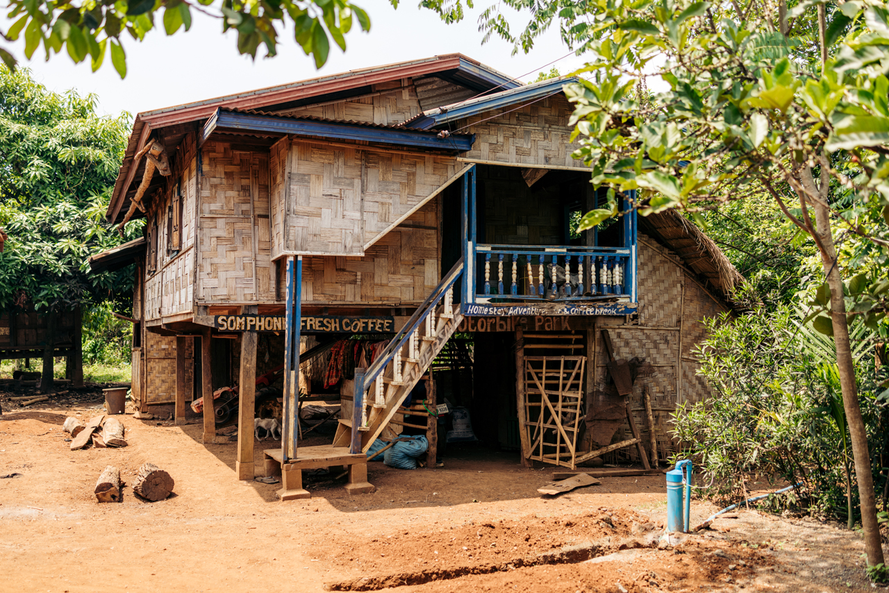
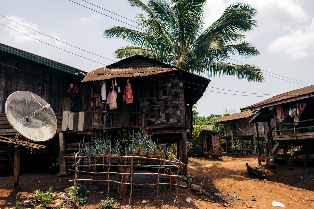
My next stop on this loop was a very small place called Kok Phung Tai community.
This community belongs to the Katu ethnic group, which is dispersed across Laos and Vietnam. If you’re interested in learning more, you can find additional information on the Wikipedia page, as well as a comprehensive blog post about this village by another blogger.
Staying in a place like this for a few days provides a deep insight into local traditions, making the experience highly fascinating. As of April 2023, the village offers only two homestays, both providing very basic accommodation. One is called Captain Hook, as mentioned in the linked article above, and the other is Somphone Homestay Guesthouse, where I stayed.
Somphone was an amazing host and showed me around the village and the locals.

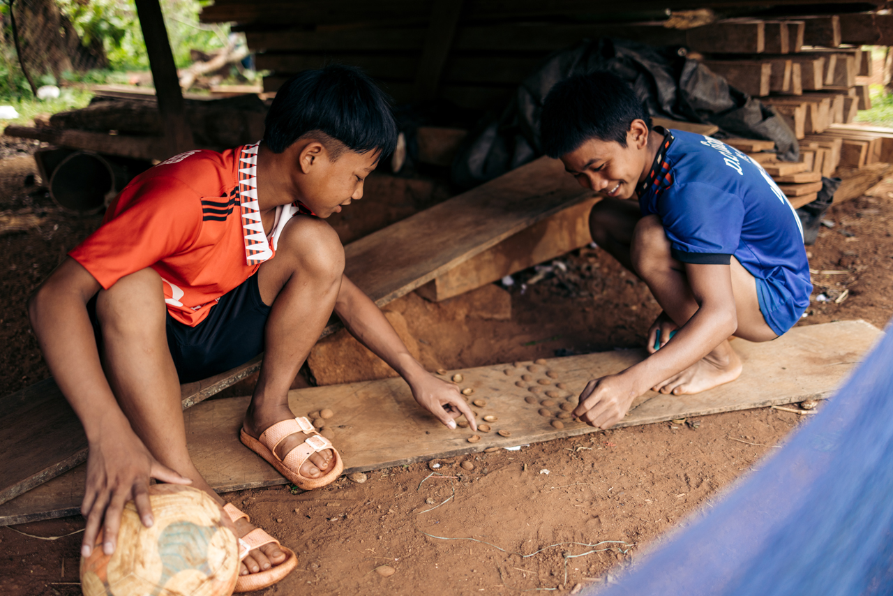
Local chess-like game
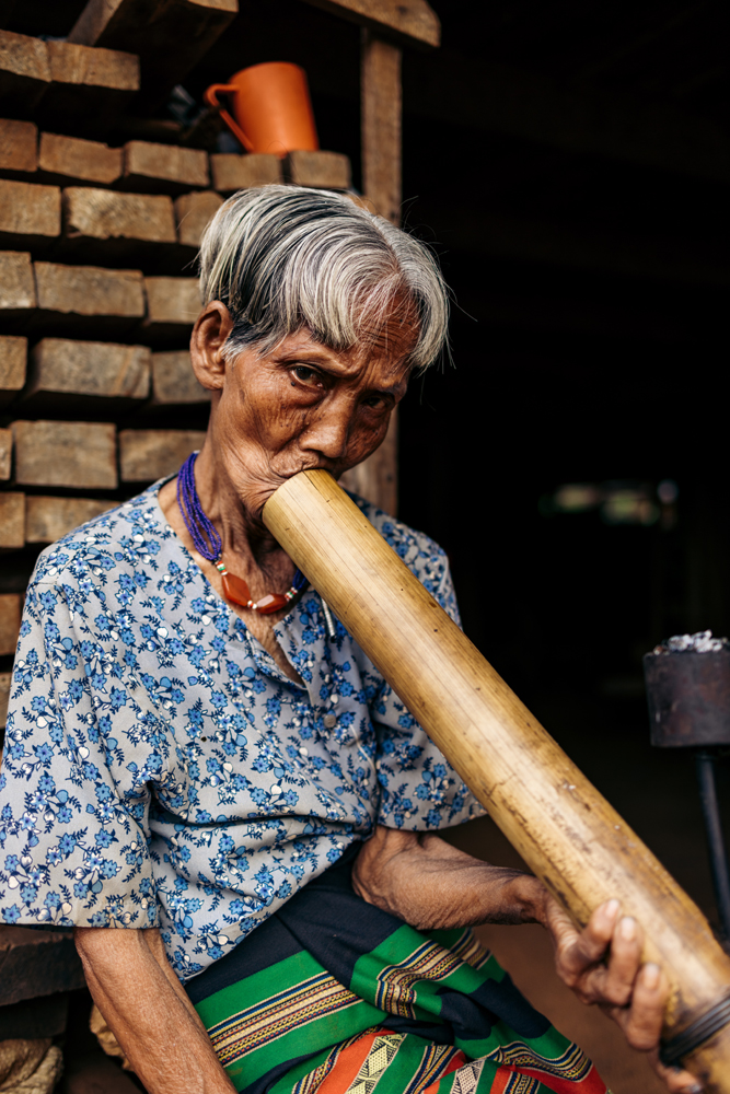
Local lady having a bit of local tobacco.
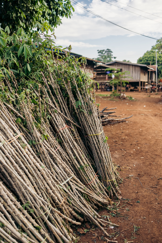
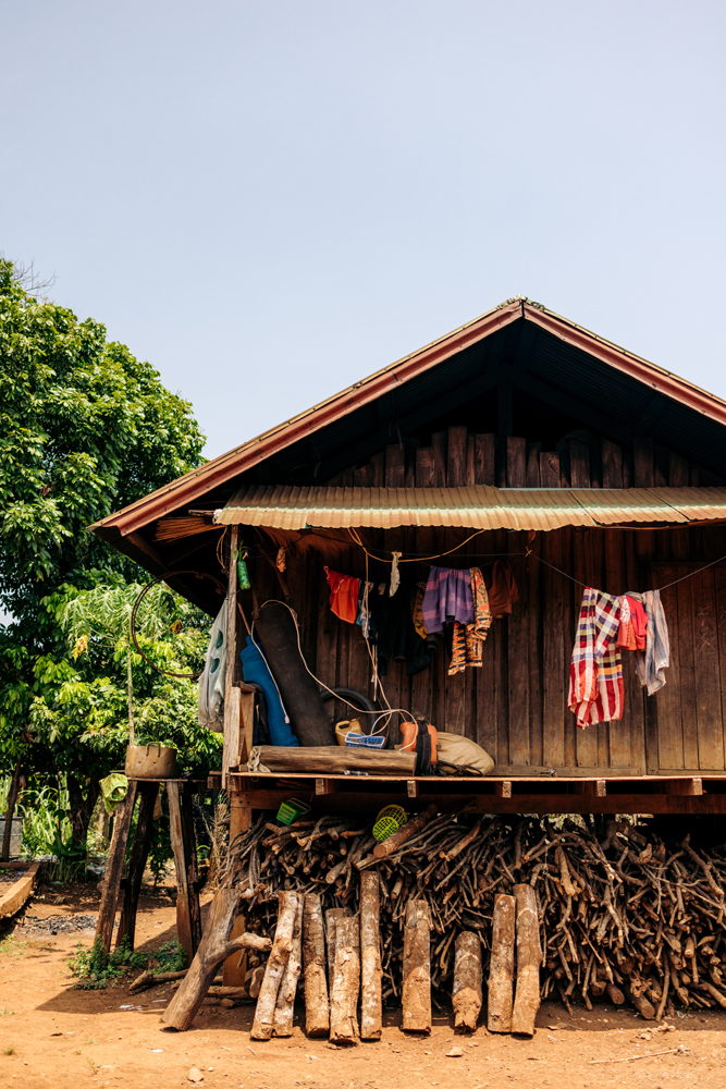
Most of the village survives thanks to Cassava growing.
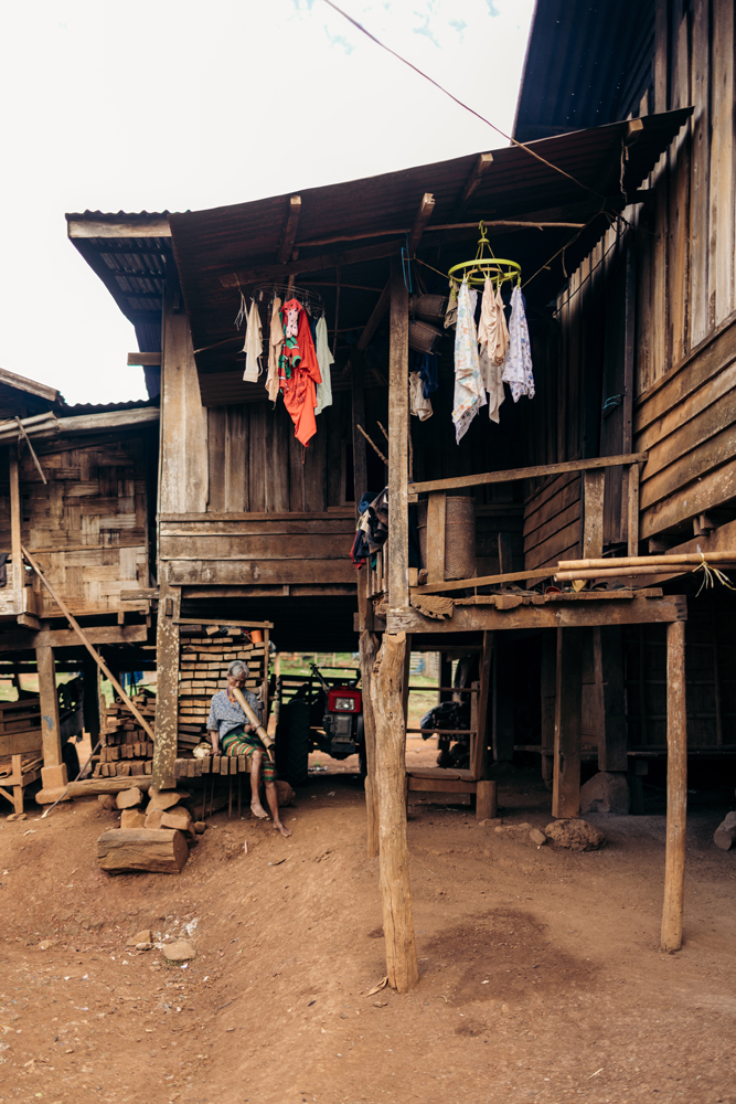
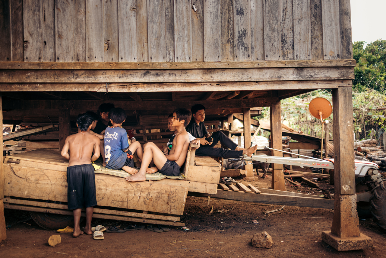
Typically, the common relaxation spot is beneath the house in this area.


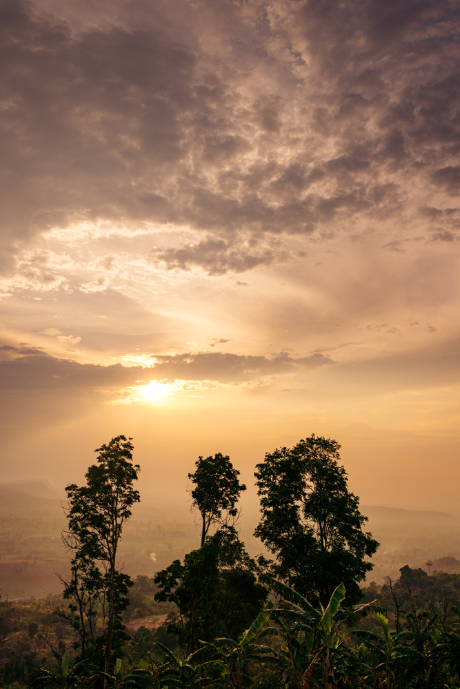
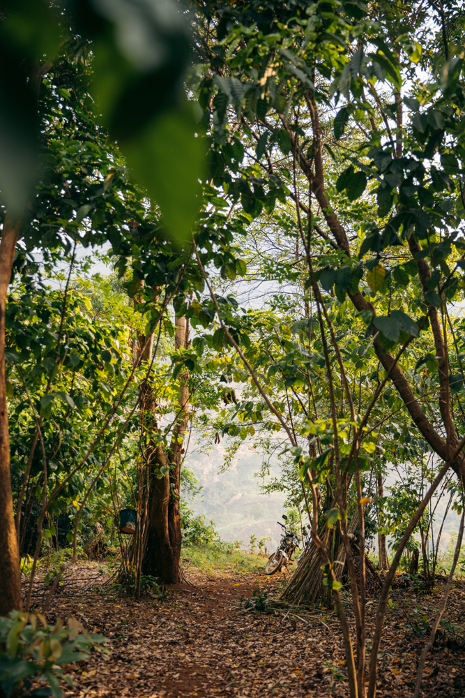
Drove away to the fields for sunset.
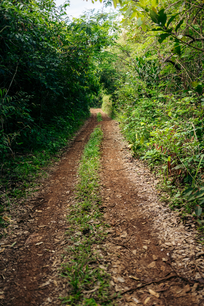

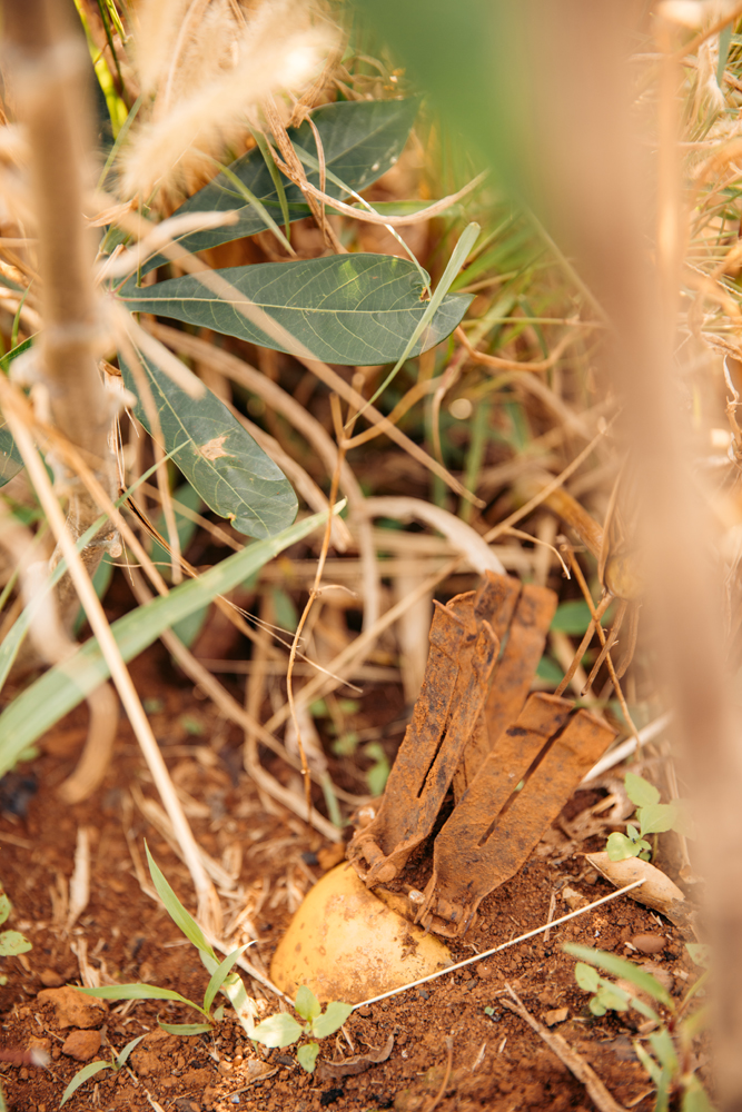
The following day, we explored the village surroundings.

Laos was entangled in the Vietnam War, and remnants from that era persist. Here, you can observe an unexploded bomb, marked for safety but left in place due to insufficient funds for its removal and disposal.
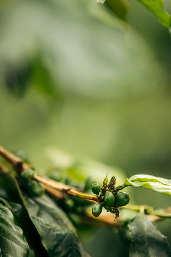
Coffee tree:

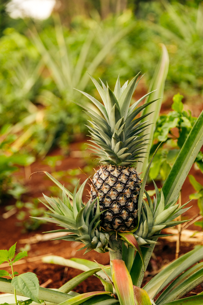
Pineapple:

The next day I took a couple of photos in the village and moved to the next destination.

It was a wonderful experience within the community, and I highly recommend it to anyone seeking an authentic glimpse into the local Laos lifestyle of the Katu people.
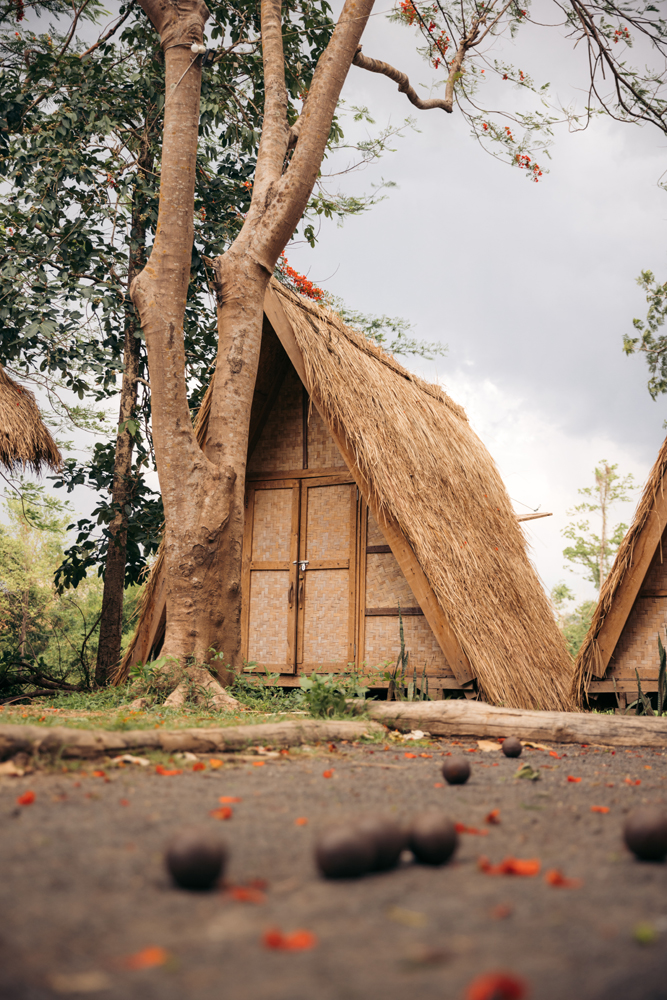
Interestingly, just 20 minutes away, you’ll find a place called Fandee Island a man-made island featuring charming huts and a lake with water games. The striking contrast between these two locations, situated so closely, creates a sense of being worlds apart.
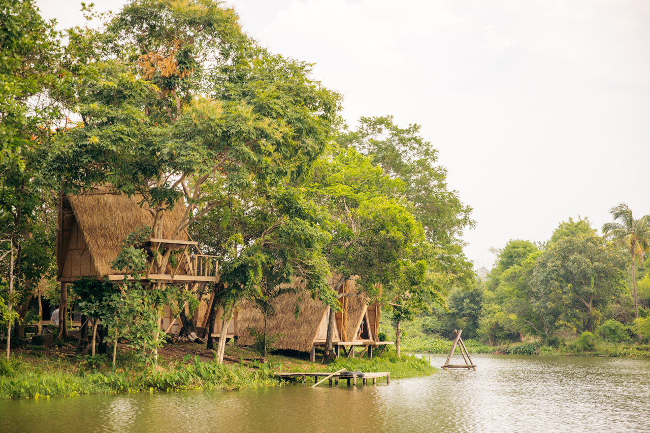

It’s a french owned business as you can guess from the following installation:
You can also walk about 10 minutes to a series of waterfalls. Pretty cool.
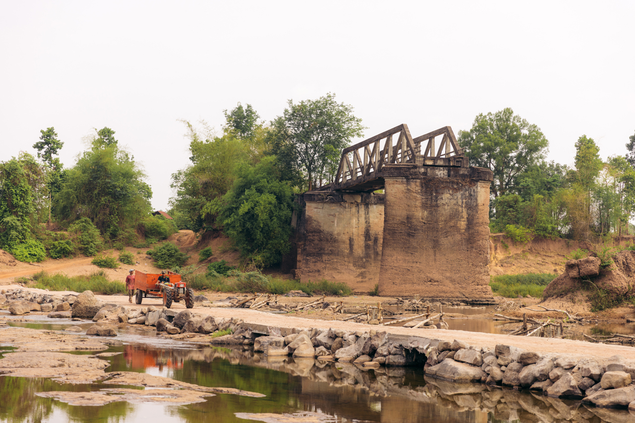
The next day the plan was to go all the way to a place named Xepon using backroads but the motorbike wasn’t up for the task. So I diverged back to Thakhek.
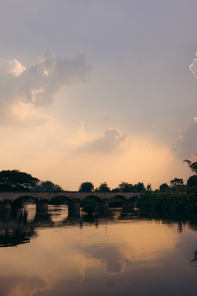
I took almost no pictures on that day, just a few shots of the Prince Souphanouvong bombed bridge, again Vietnam war remnants.
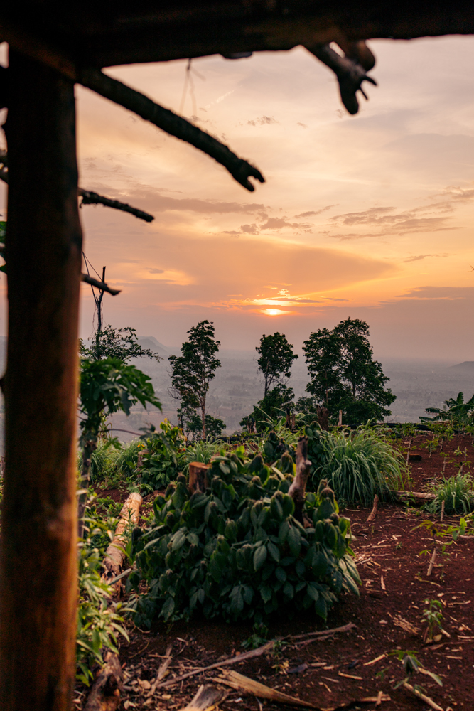
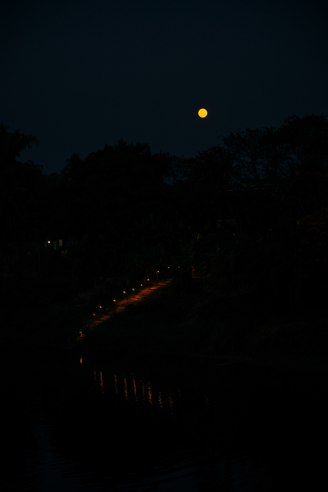
The following day, I remained in Thakhek, dedicating my time to recovery and editing. In the evening, I ventured out for some sunset drone photography, taking advantage of the improved weather compared to my previous visit. The clearer skies provided an ideal backdrop for capturing stunning moments.
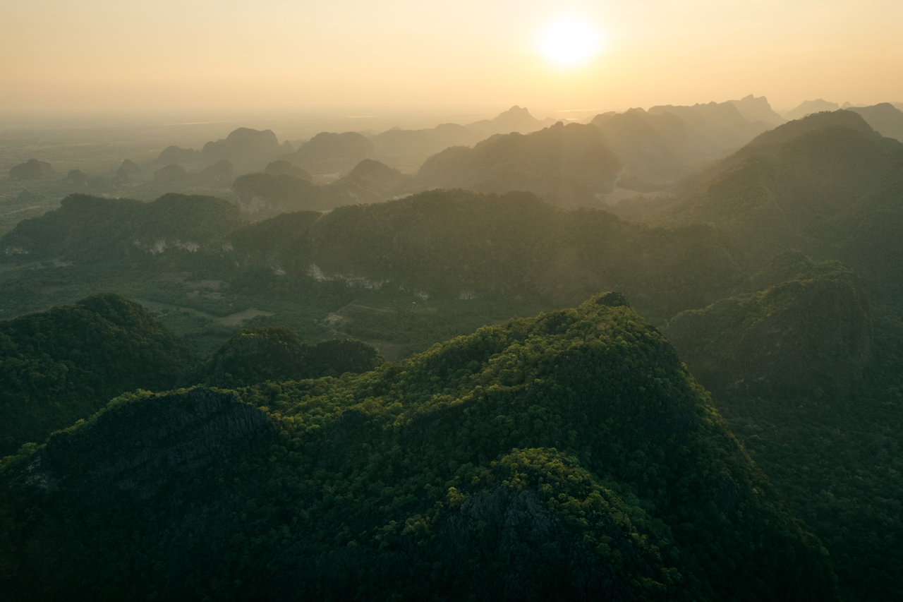
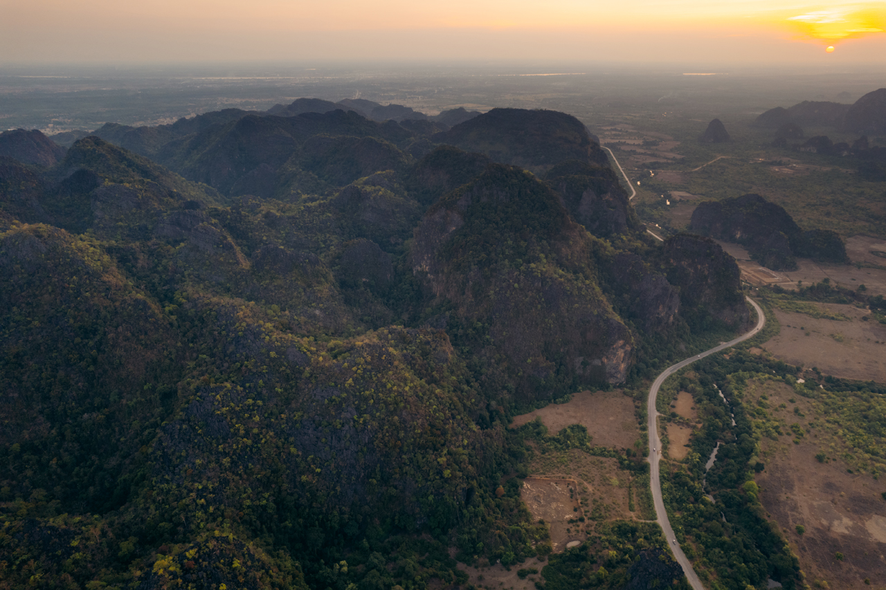
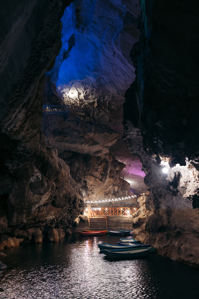
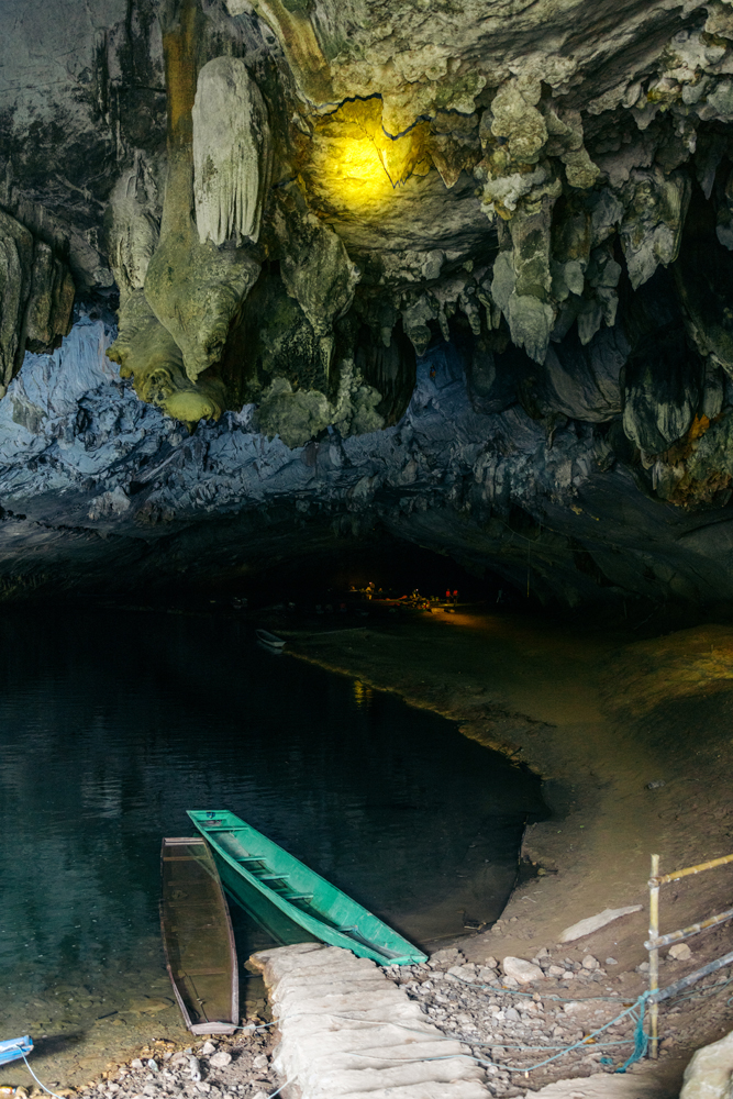
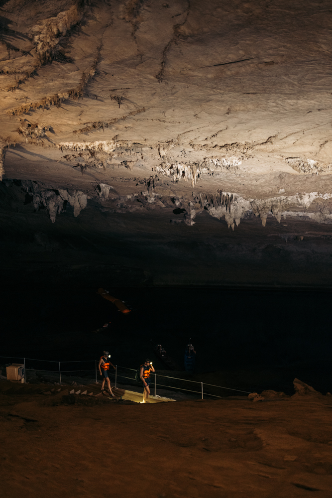
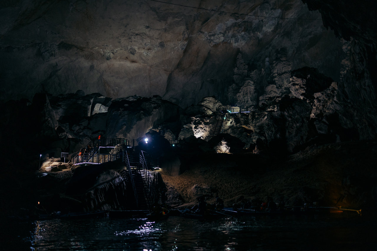
The next day, I embarked on another extensive journey, riding from Thakhek city to Kong Lor Cave, a significant portion of the renowned Thakhek Loop. Opting to skip a few stops along the way, I headed directly to the main attraction, Kong Lor Cave.
Here are some of the scenes I captured along the way.


For some reason, they were growing rice in this specific area, which isn’t the right season to do so as far as I know. But it was quite photogenic.


Came out to shoot sunset after finding a place to stay:


What a day! Here’s the link to the Reel for it.
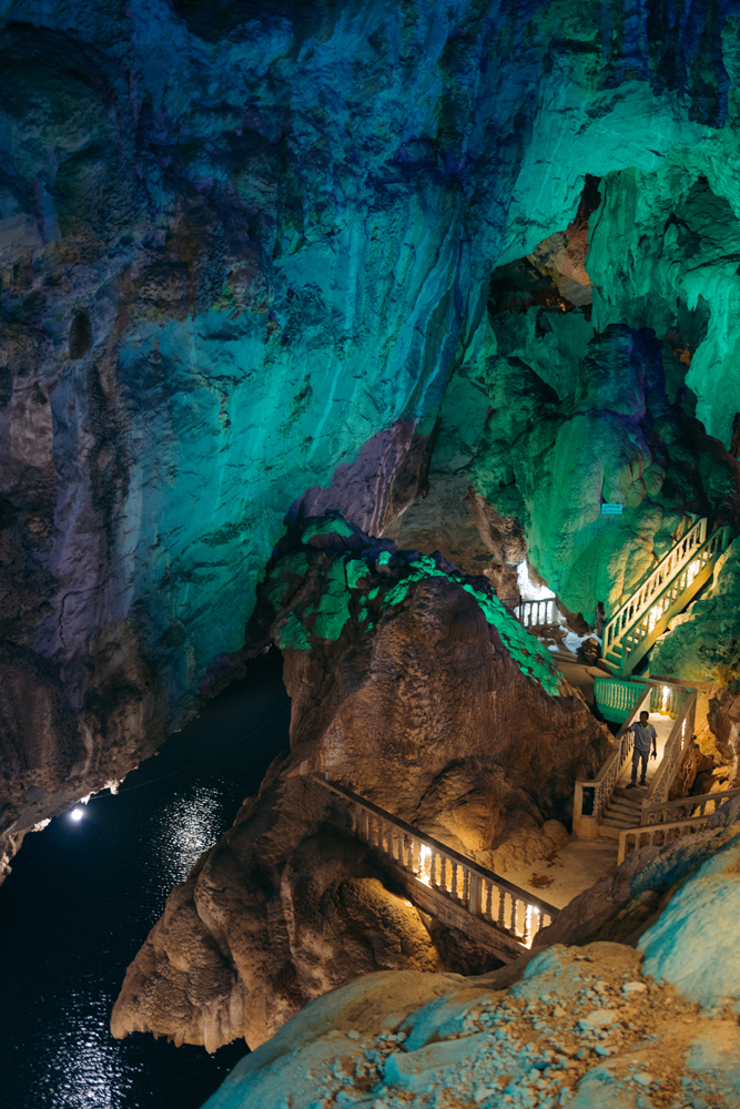
I typically don’t set high expectations for caves anymore, having explored numerous large and impressive ones in recent years.
Kong Lor, however, surpassed all of my expectations.
Woke up to this view.

The cave spans approximately 7.5km and serves as a shortcut to a small village on the opposite end, resembling a natural tunnel. Many people commute through this cave daily. While there is a regular road that circumvents the mountains, the travel time is more than double.
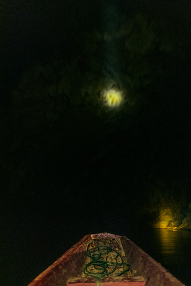
I opted for the boat round trip, but it’s also possible to bring your motorbike on the boat and return using the road.
Here are the images from this “cruise”.

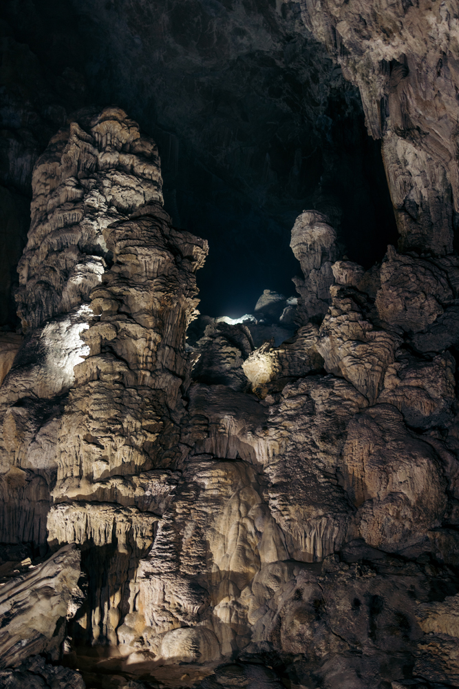
When you do the tourist tour you do stop to look at some spots in the cave:


The exit point is quite impressive.

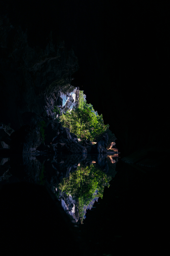
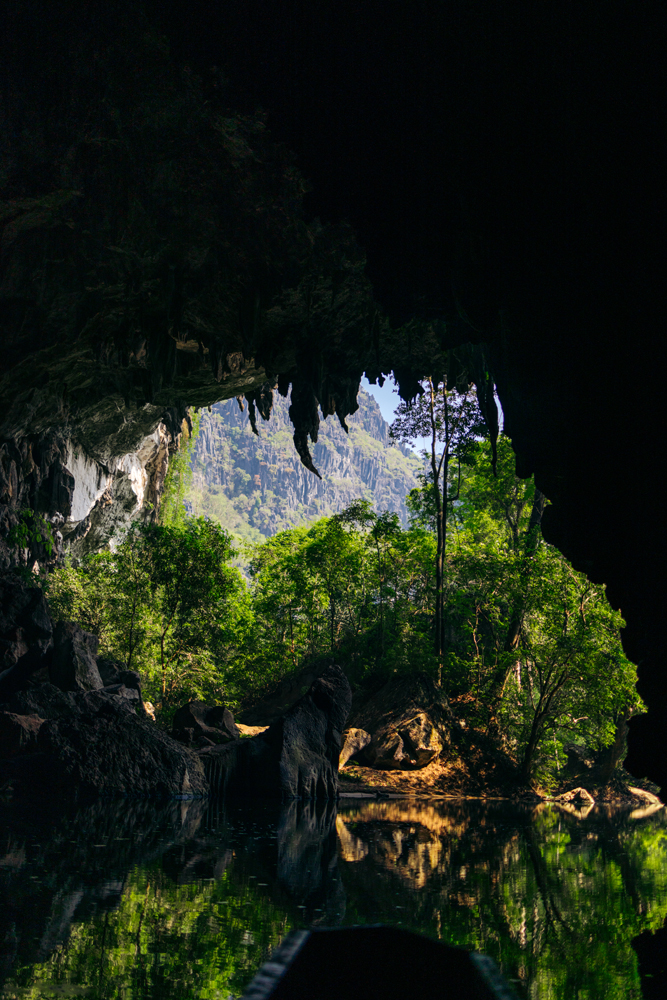
The journey inside the cave is quite dark, offering limited opportunities for photography. Nevertheless, the experience itself is truly epic.
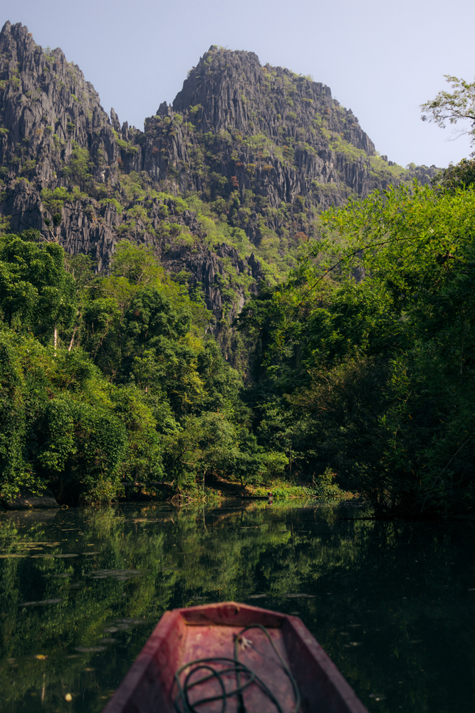
Once you reach the village on the other side you can buy some souvenirs and walk around, but there’s not much to see.
There are also two or three resorts but they were pretty quiet, and almost looked closed when I was there.

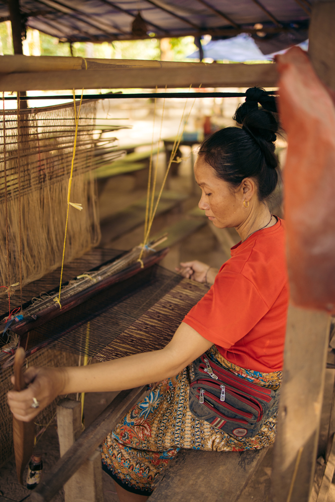
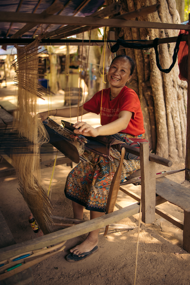
Locals make fabric the traditional way.
Some photos inside the cave on the return trip.


Certainly worth a visit, especially if you’re exploring the Thakhek Loop.
More to see in this Reel about Kong Lor Cave.
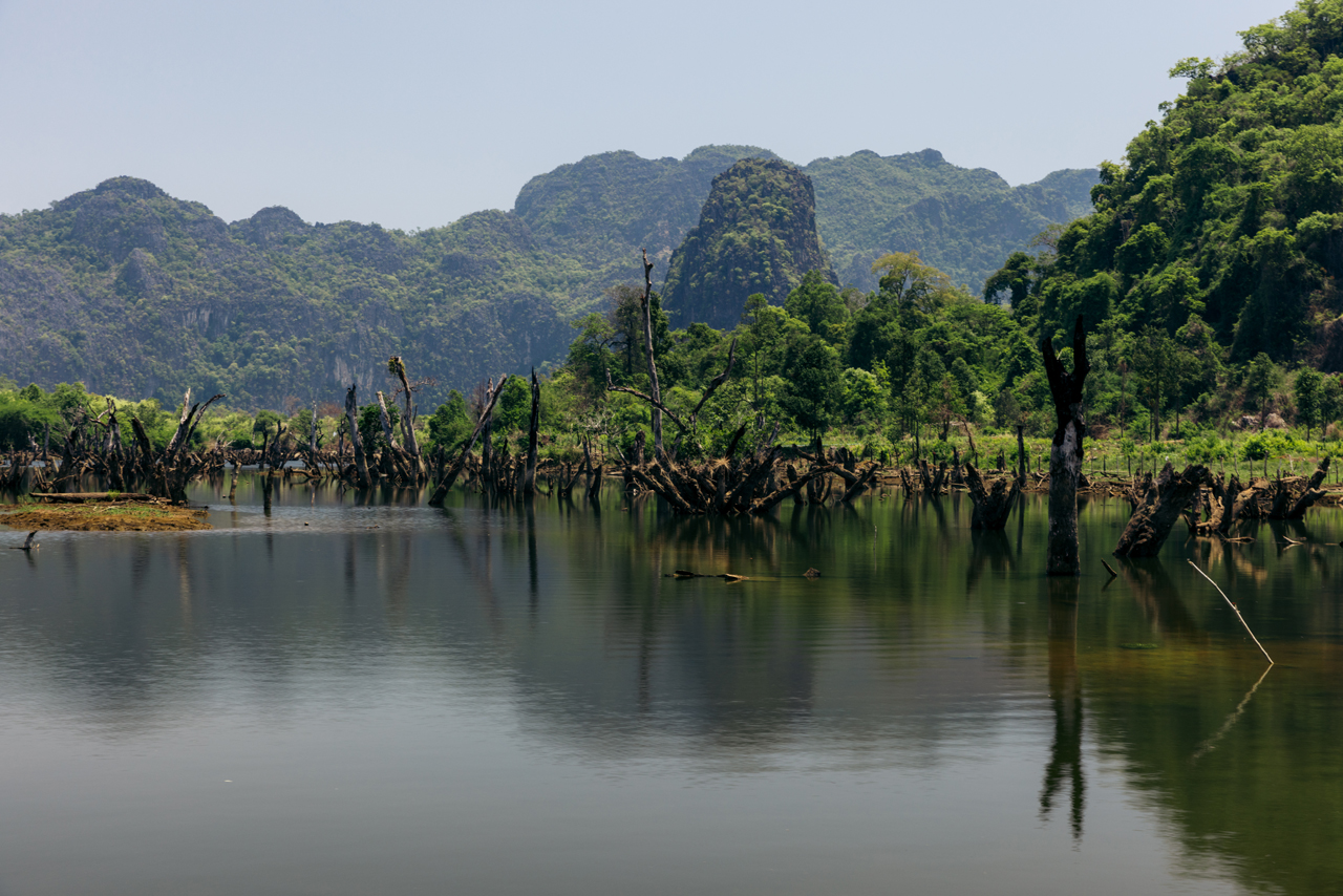
Following the cave visit, I hopped on the bike for a full day of riding, making my way all the way to Phonsavan.
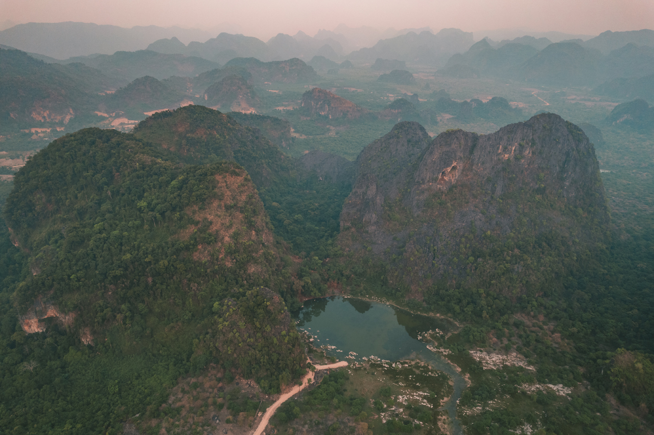
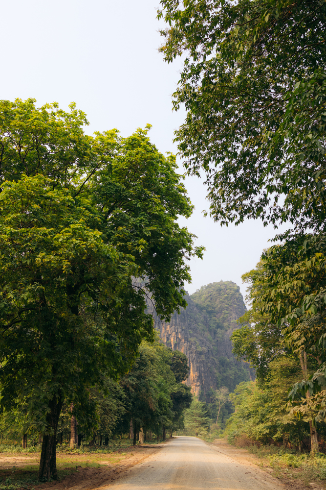
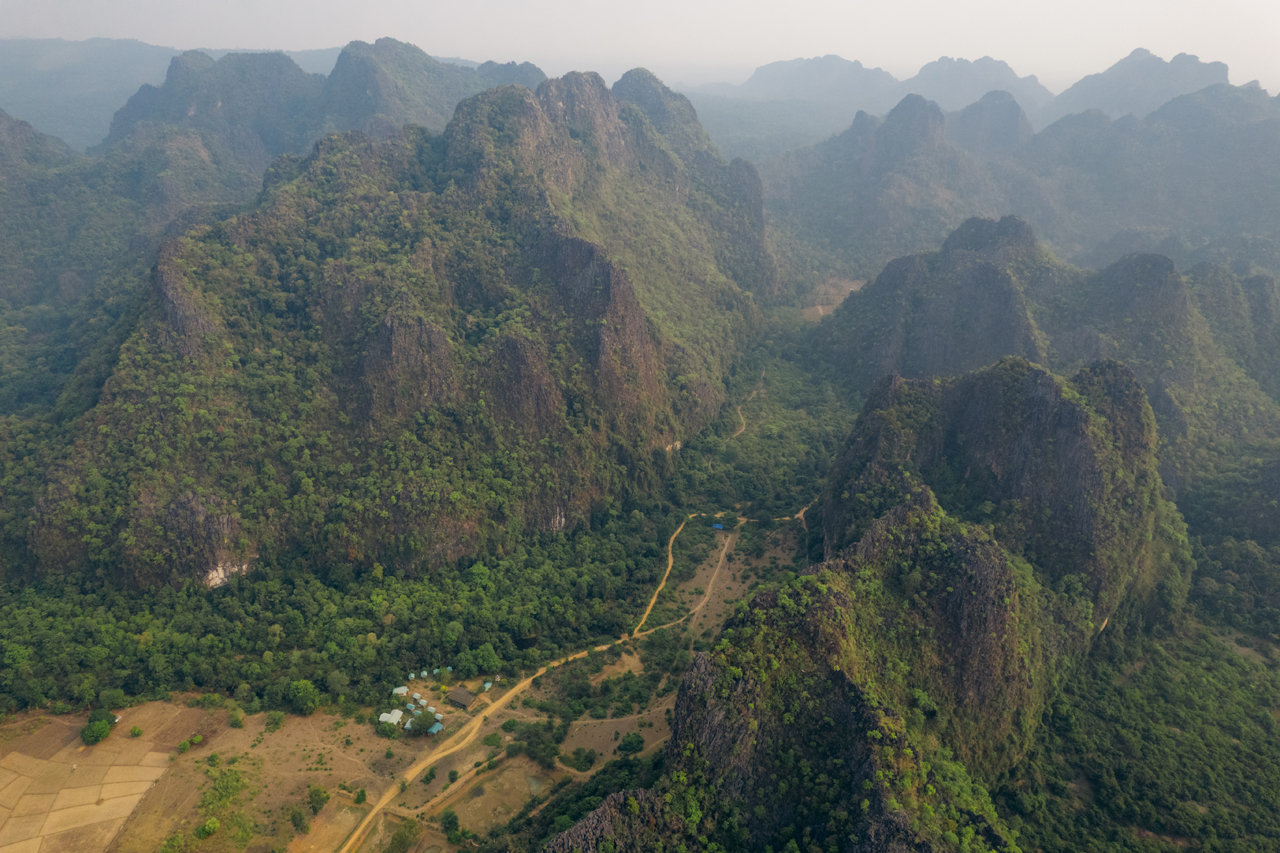
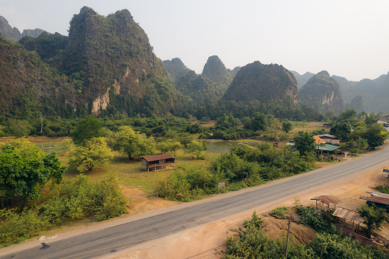
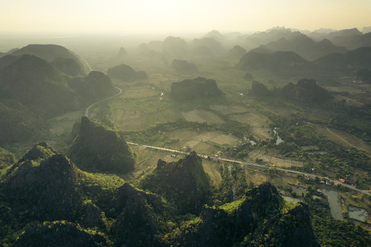
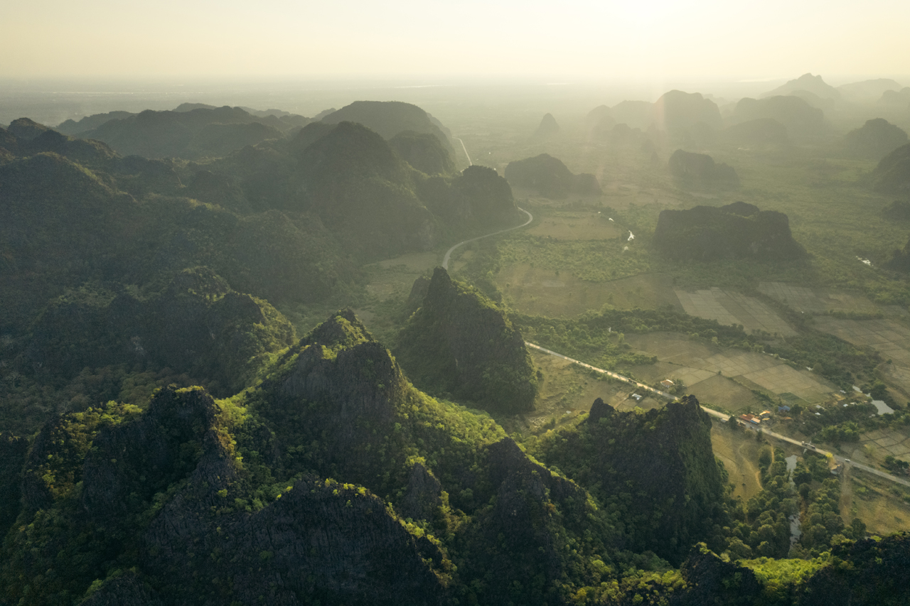
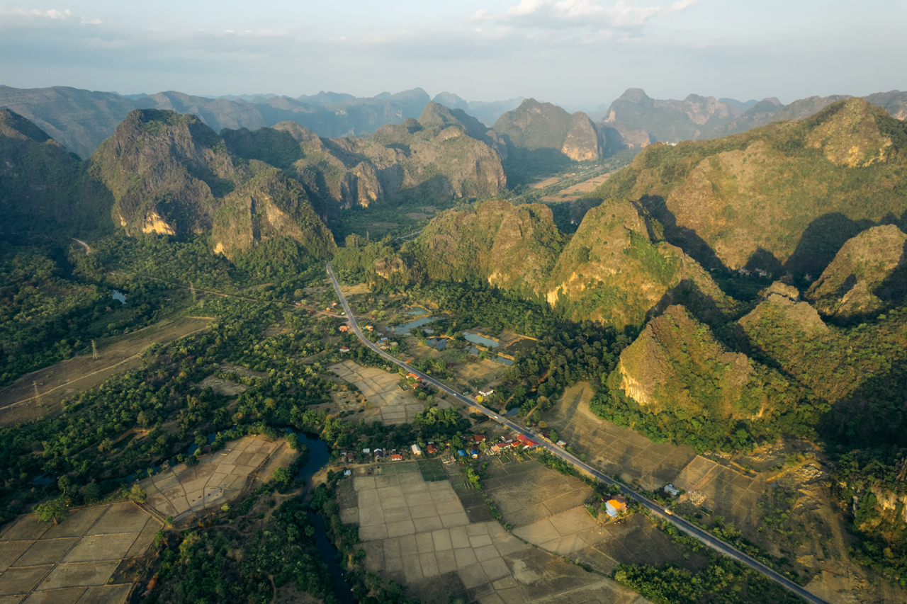
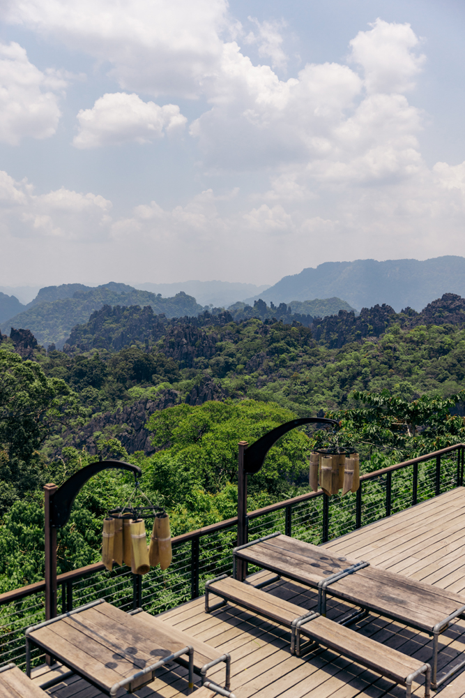
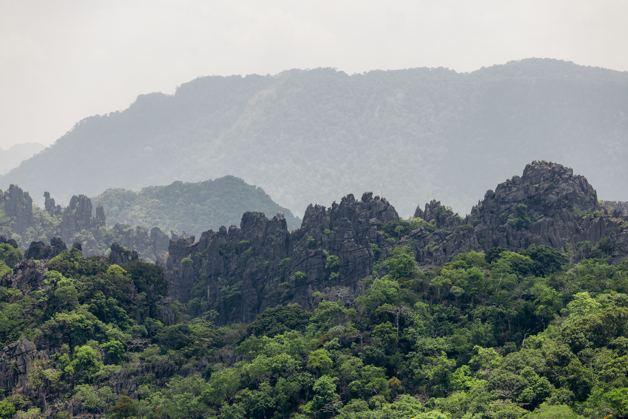
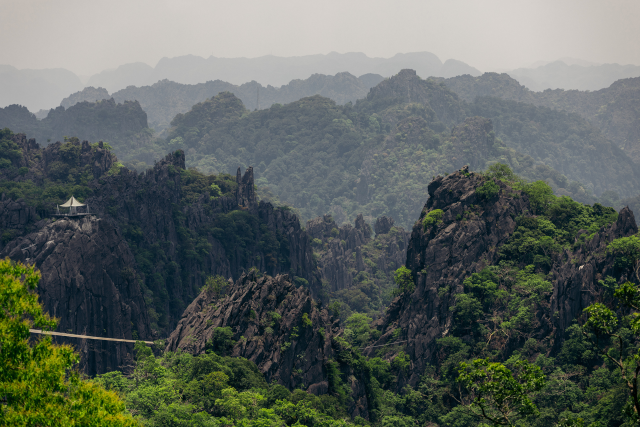
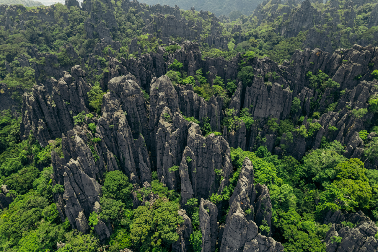
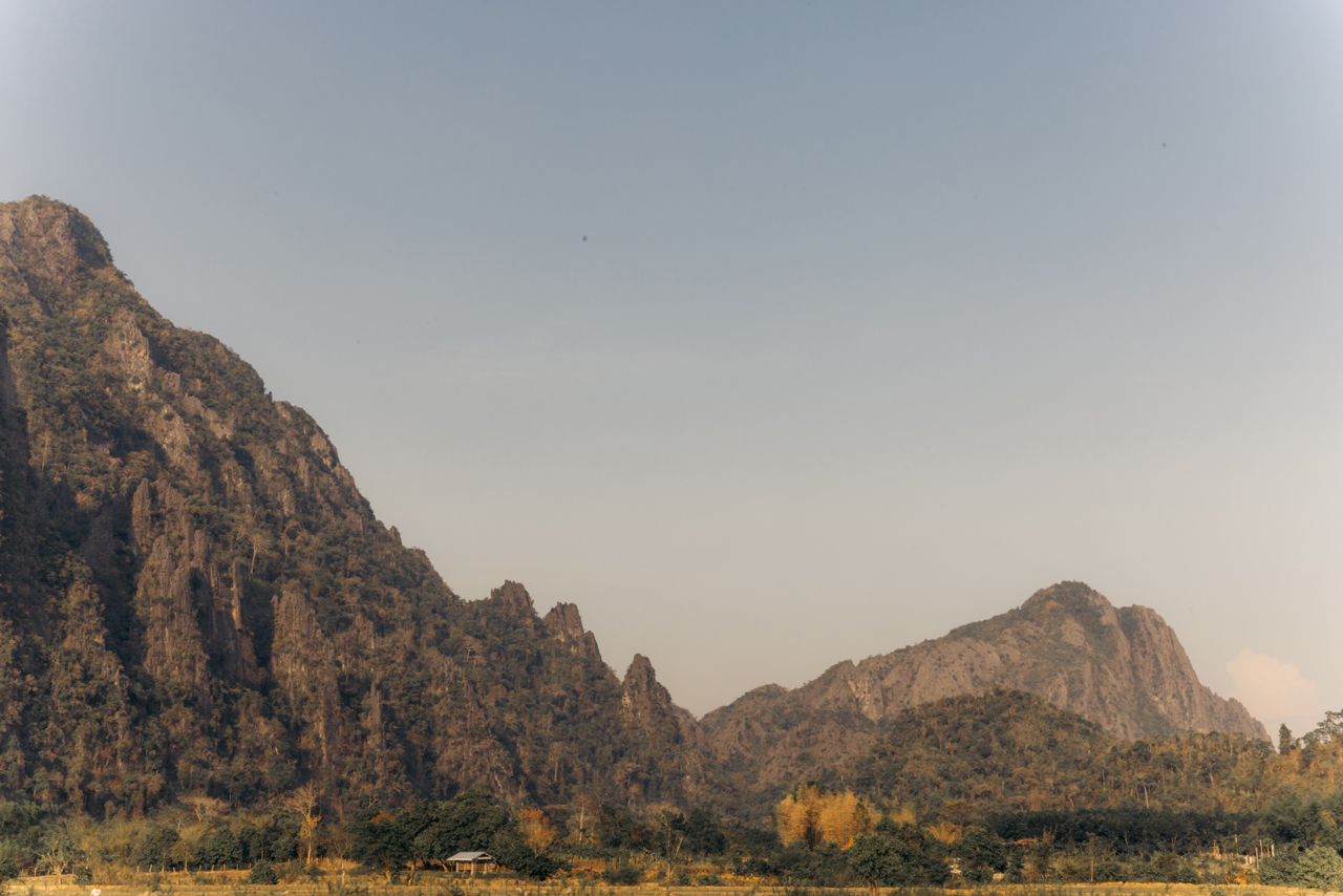
However, before heading to Phonsavan, I had another planned stop at The Rock Viewpoint. There’s a spacious restaurant offering a panoramic view of the “rock forest,” a landscape adorned with limestone rocks stretching for quite a distance.
The area provides various activities, including ziplining. But my only activity was photography.
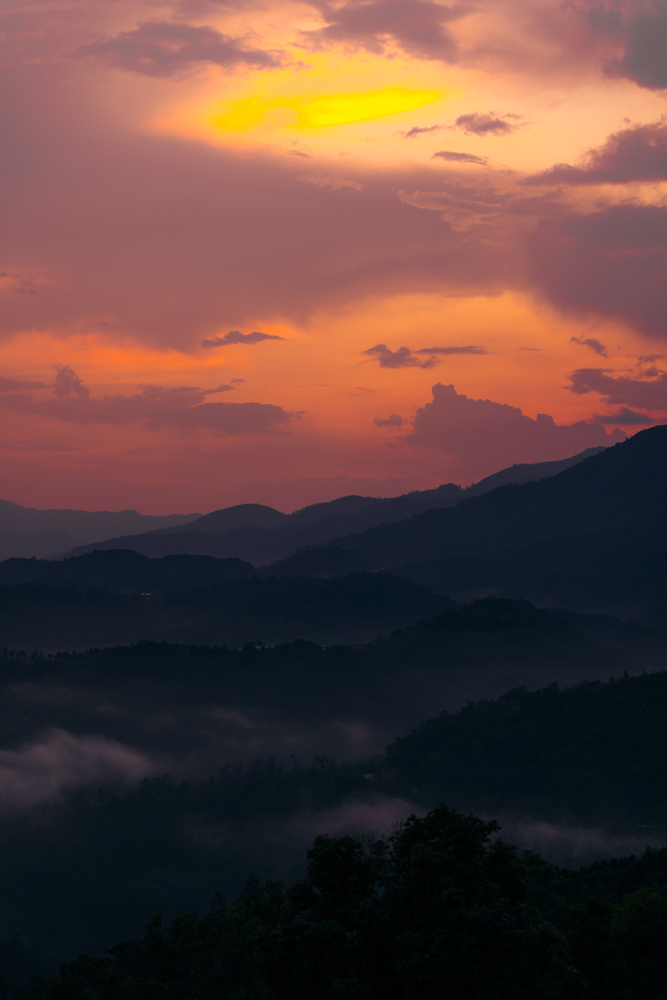
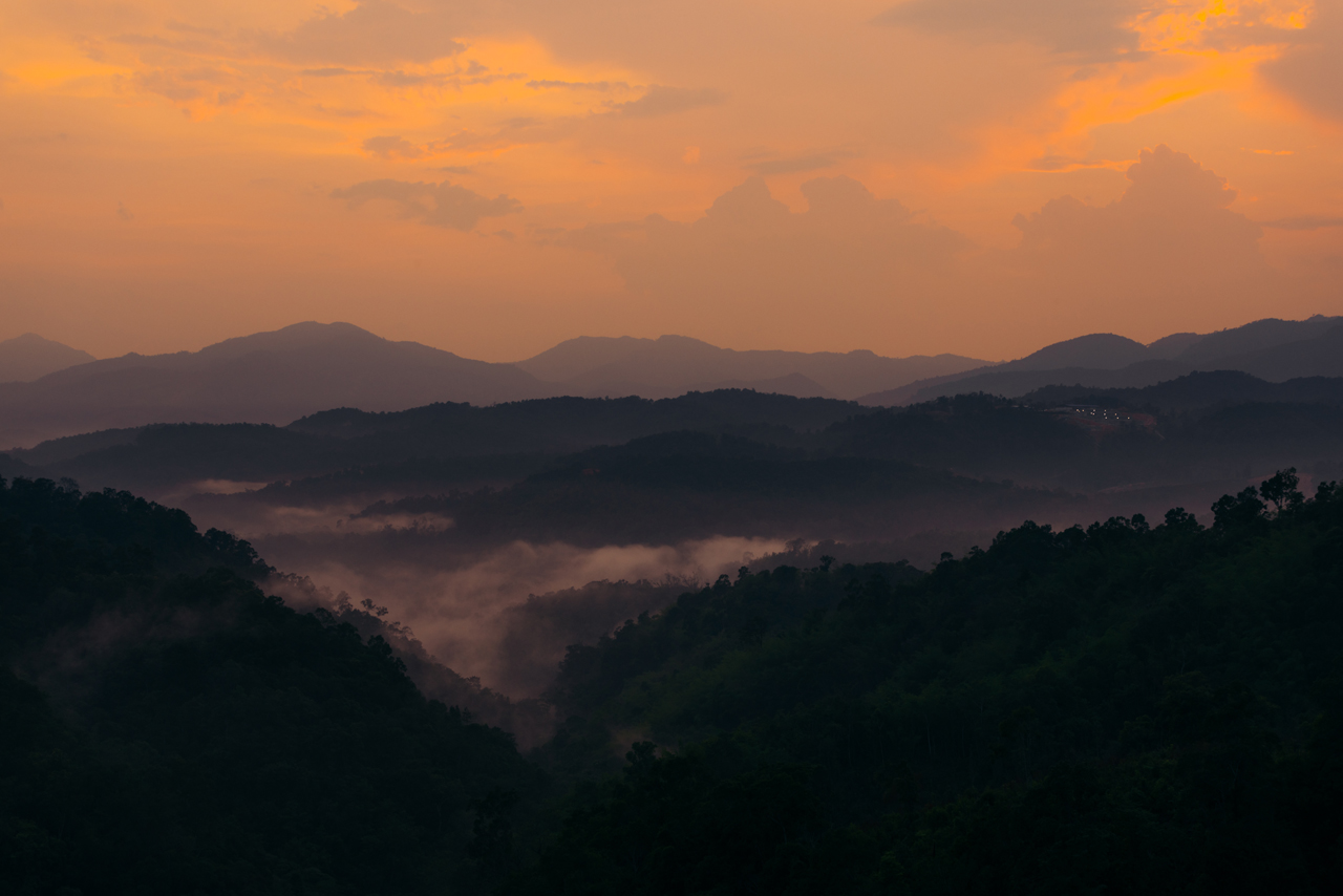
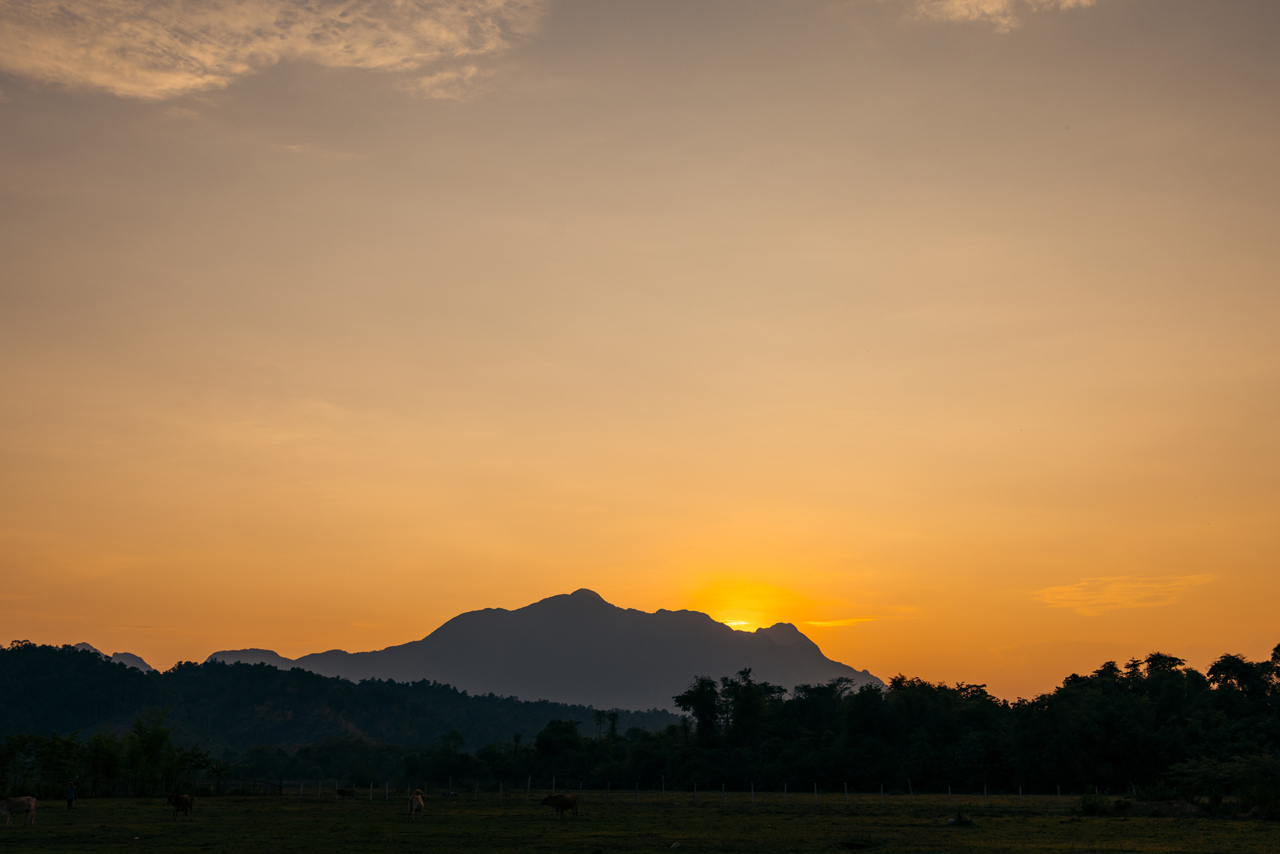
I arrived late in Phonsavan, and typically, I avoid riding in the dark. However, this time, I was fortunate to witness a stunning sunset while on the road. Despite knowing I would reach my destination well after dark, I couldn’t resist stopping to appreciate the moment.

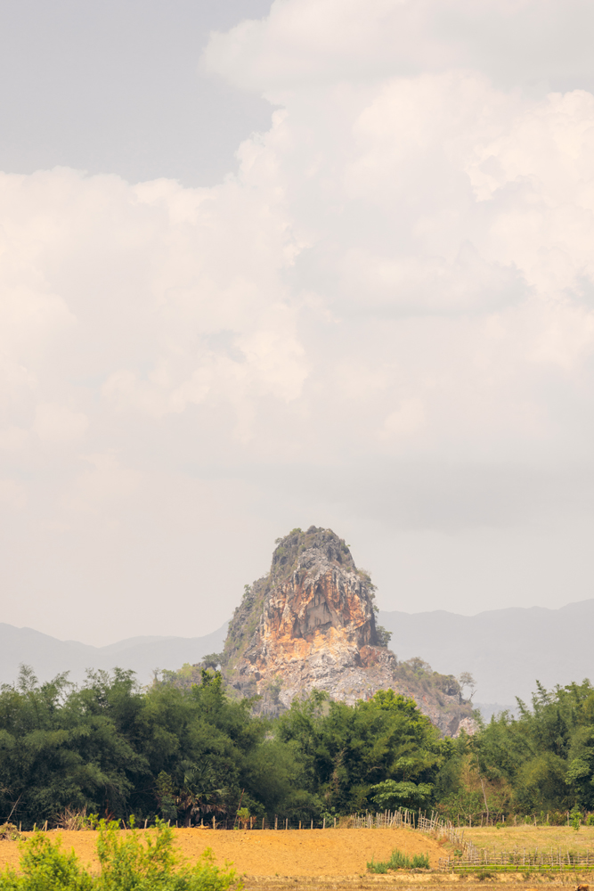
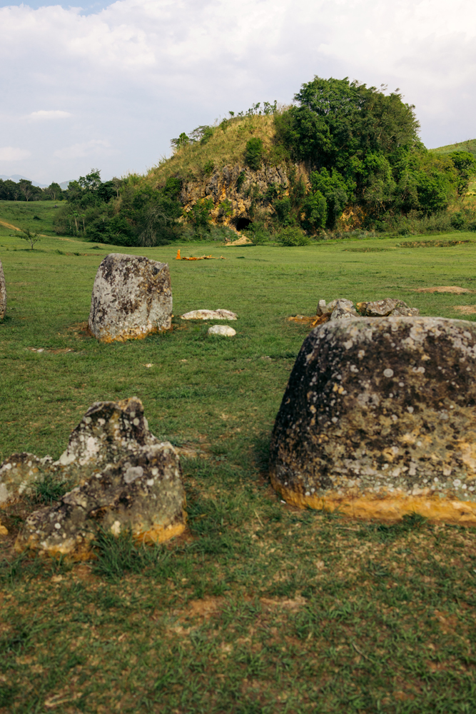
The primary reason I journeyed to Phonsavan was to explore the mysterious jars scattered throughout the area. Numerous sites feature megaliths resembling jars, and their origins remain unclear, adding to their enigmatic allure. It’s a truly unique phenomenon.
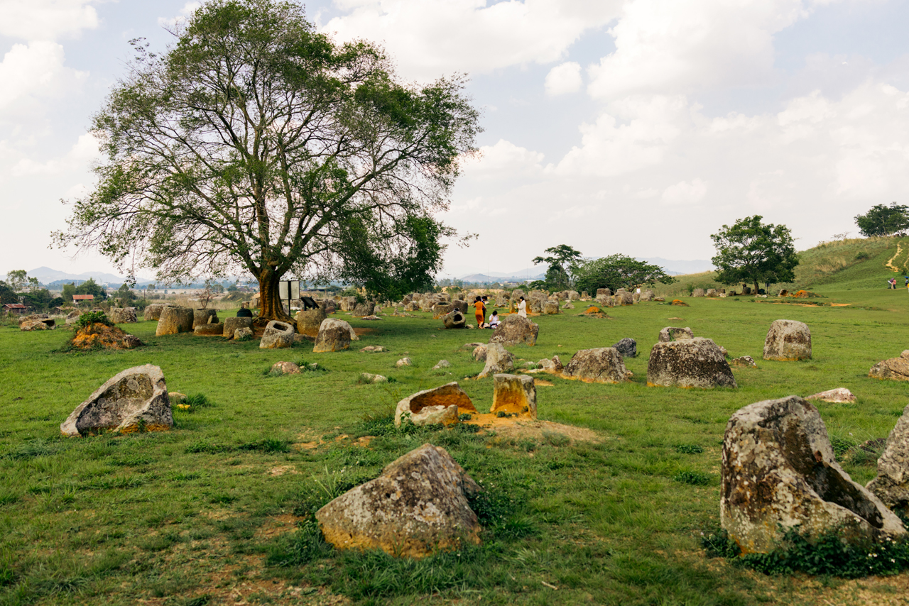
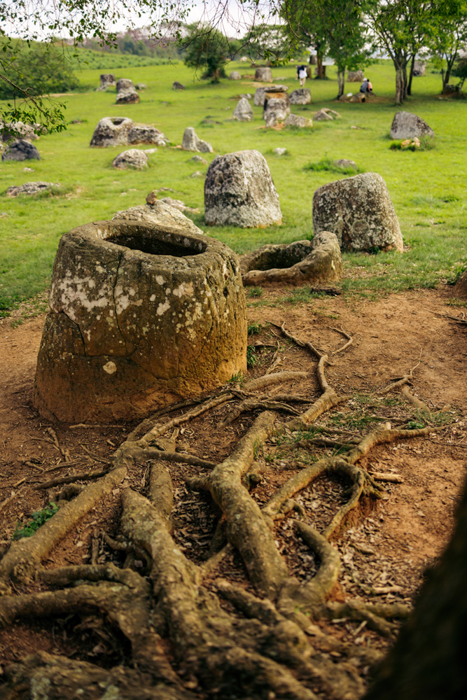

One of many such sites.

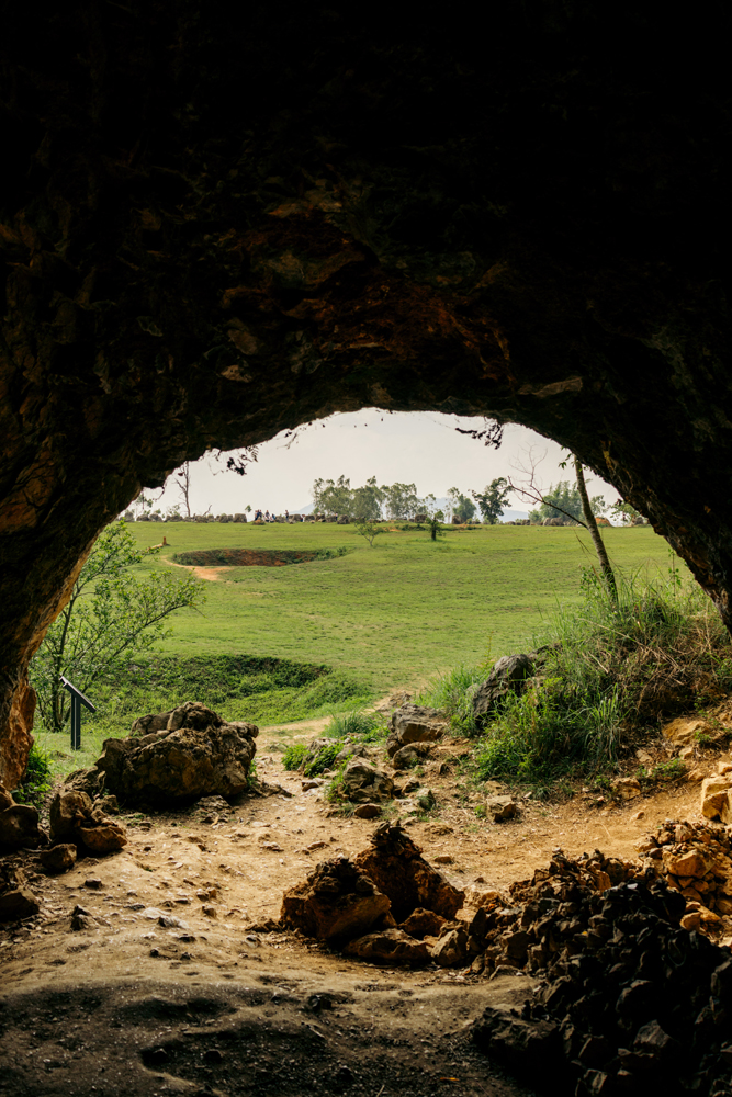
There’s also a cave there, you can see it in the distance in the following photo, where people would go to get sheltered from the bombing during the Vietnam War, also called the Secret War in Laos.
The big holes in the field are from bombs.

There’s a new temple just next door to this specific plain of jar.
The reel for the Plain of jars day.
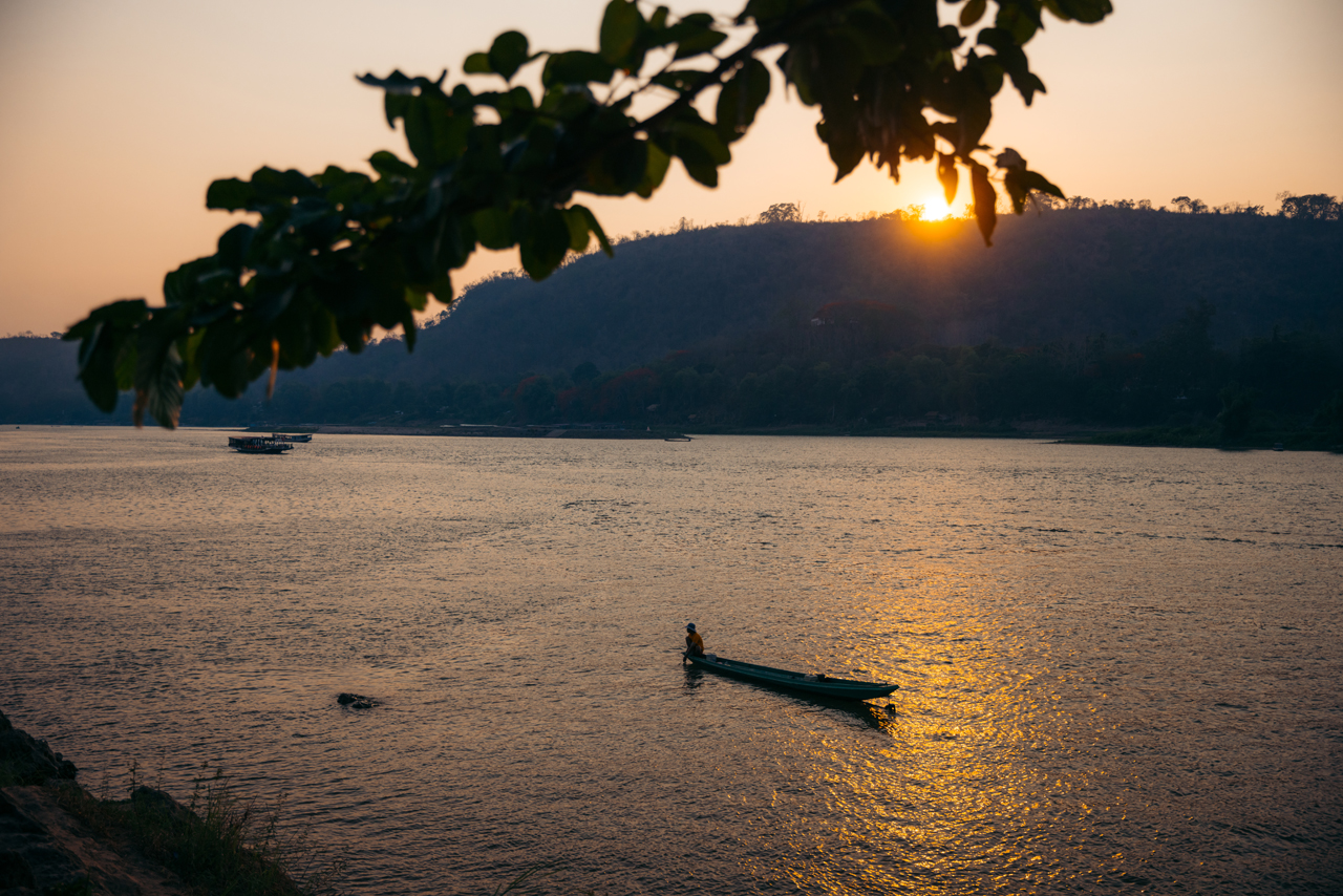
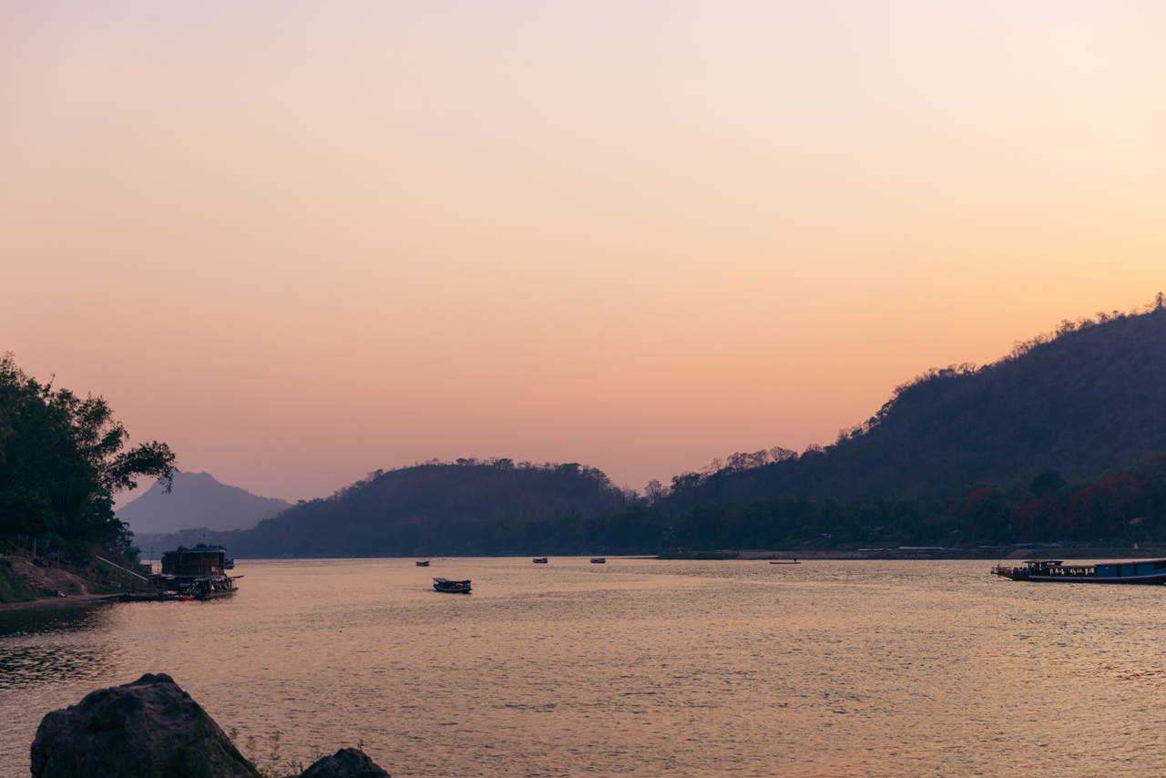
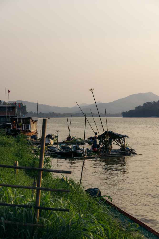
The next day was just a long ride to Luang Prabang. Not much photography was done on the way.

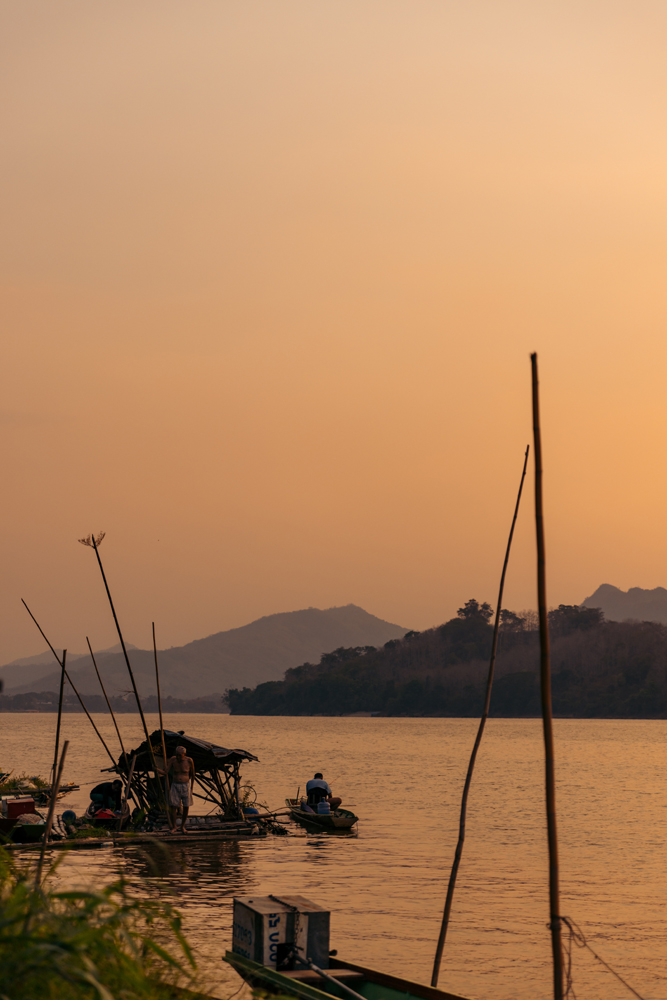
Sunset on the Mekong River, in Luang Prabang.
The next two days were really quiet, only editing and surviving the heat (45+Celciuses).
The next morning, I woke up early to visit the area’s main attraction, the Kuang Si Waterfall. Going at the opening time is recommended to avoid crowds.

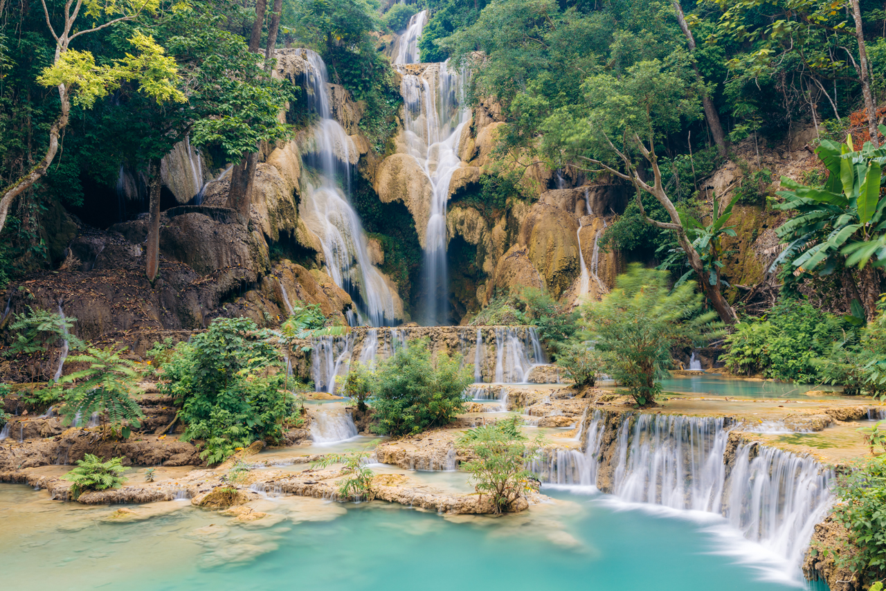
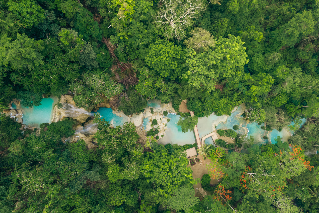
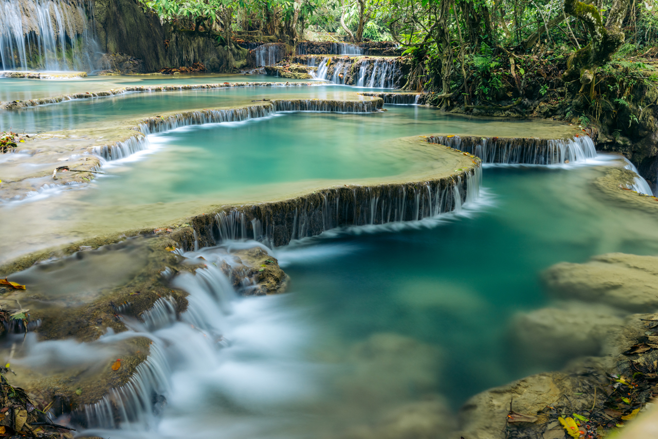

Despite the absence of sun rays reaching the waterfall, the color of the water was still impressive.
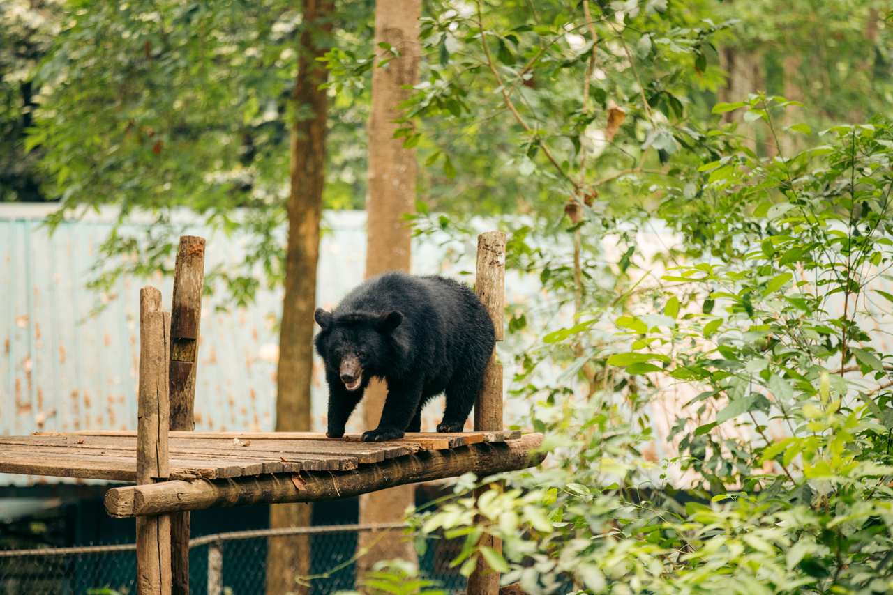
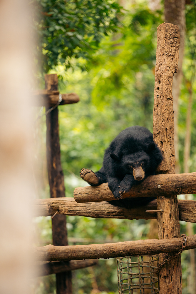
There’s a bear rescue center at the entrance of the waterfall, if you want to help you can click here.
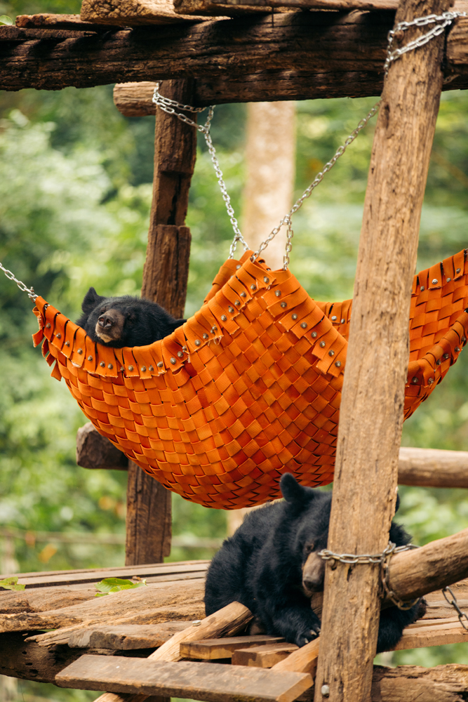
Itchy butt.
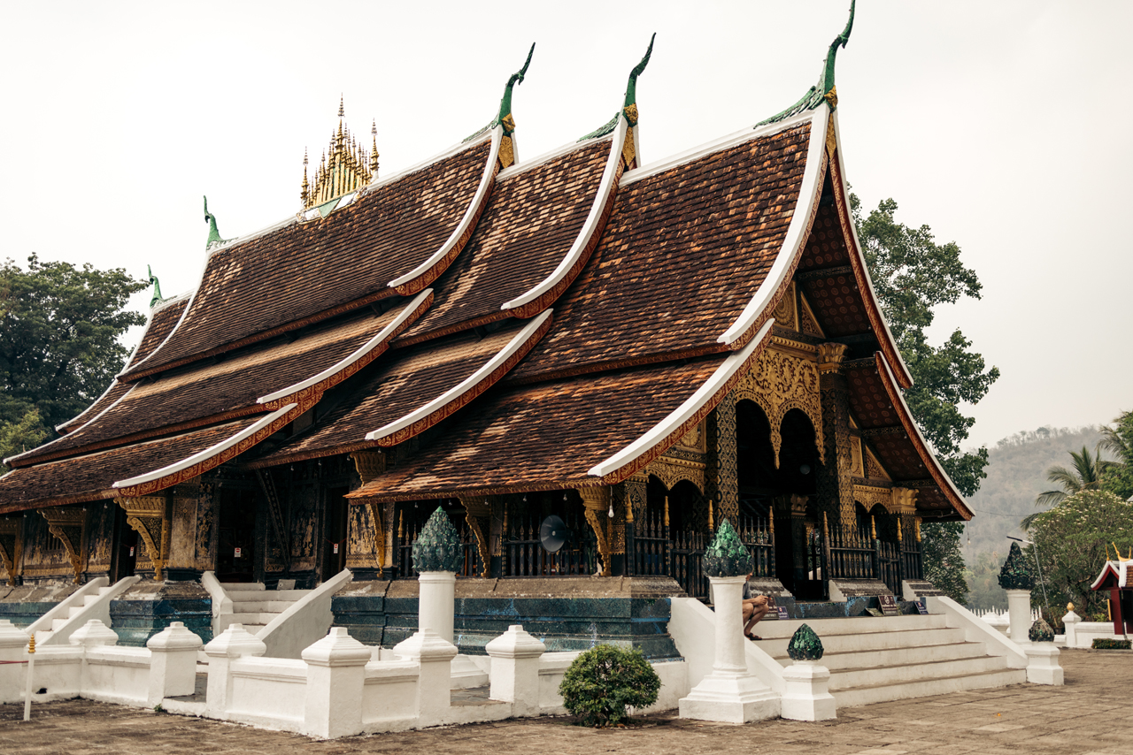
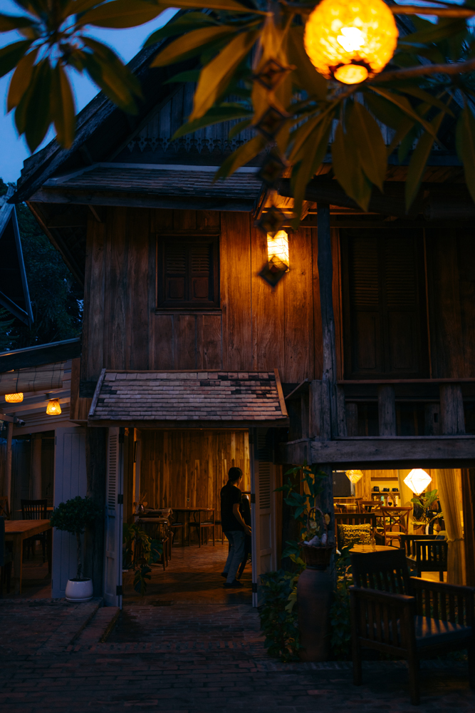
I rode back to town and took some photos.


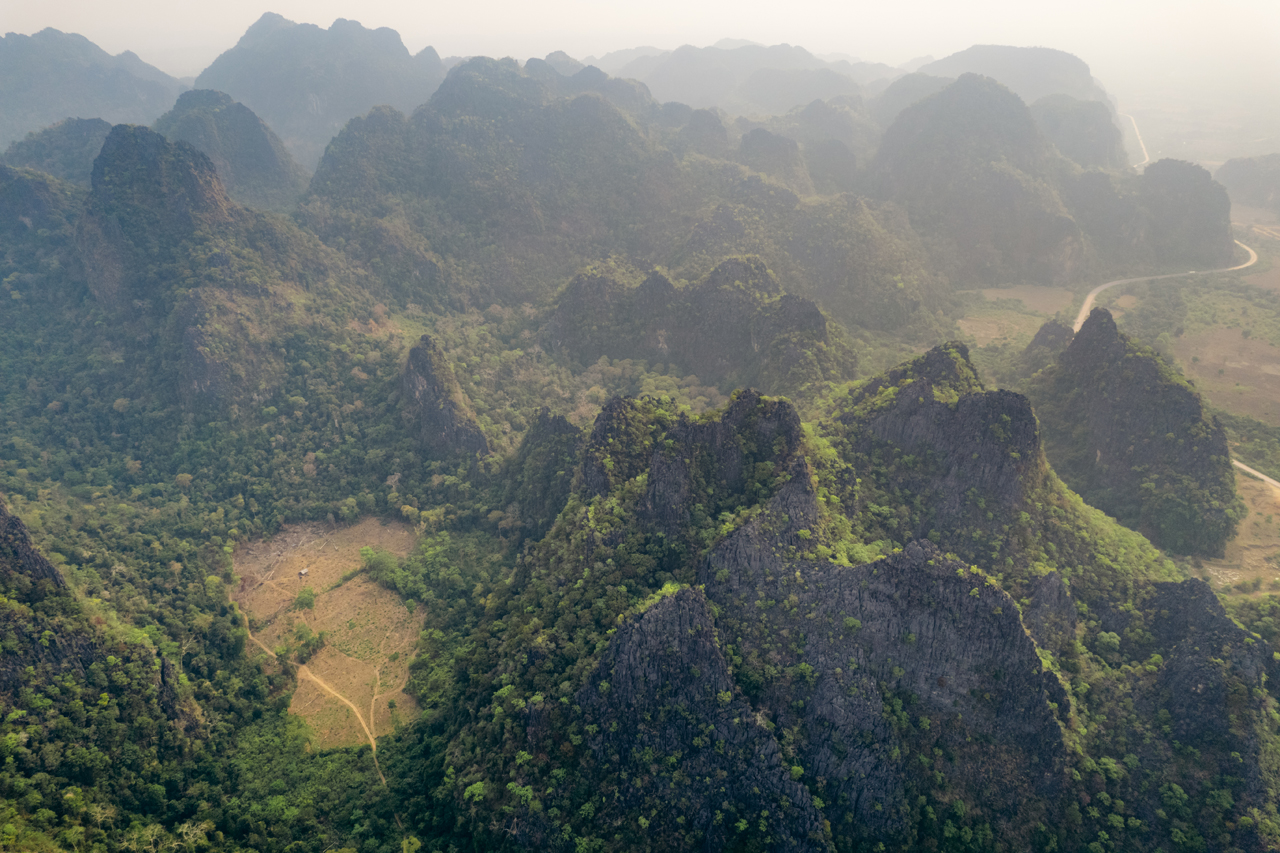
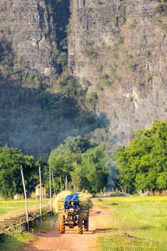
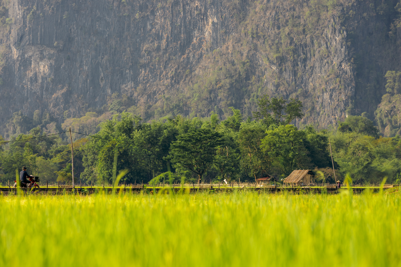
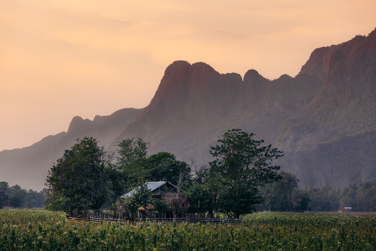
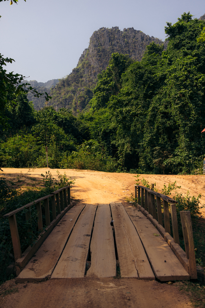
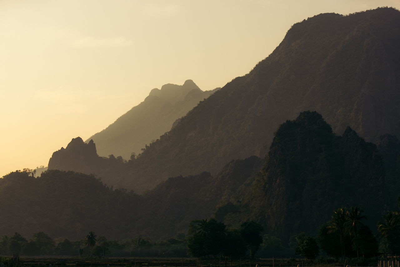
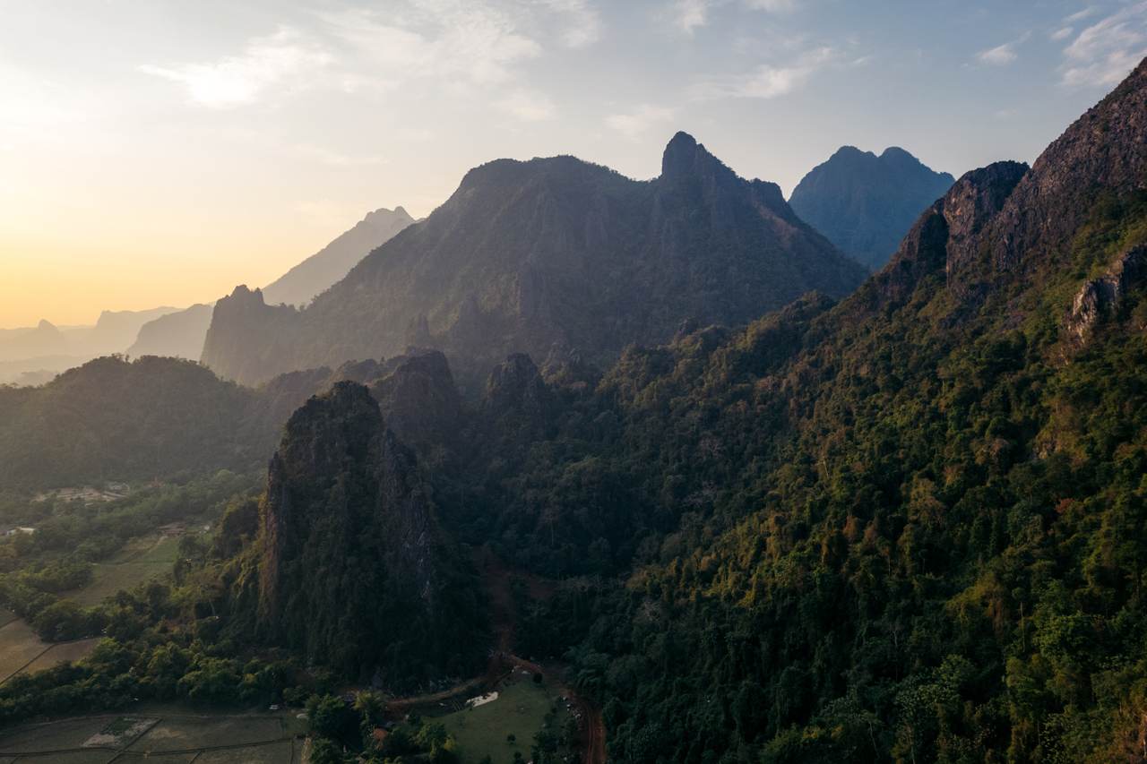
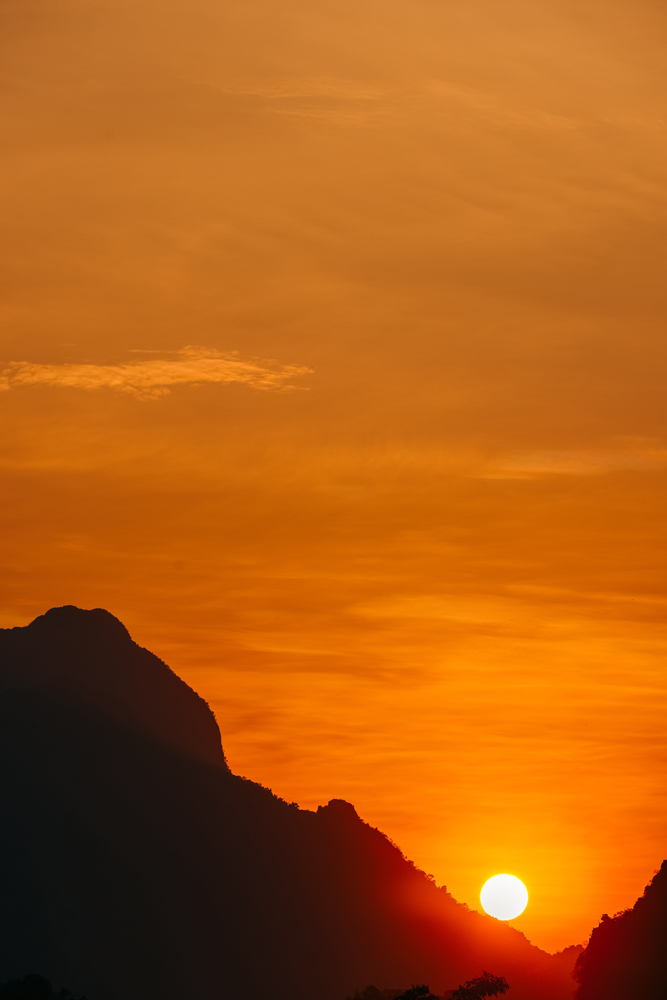
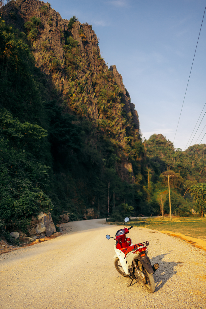
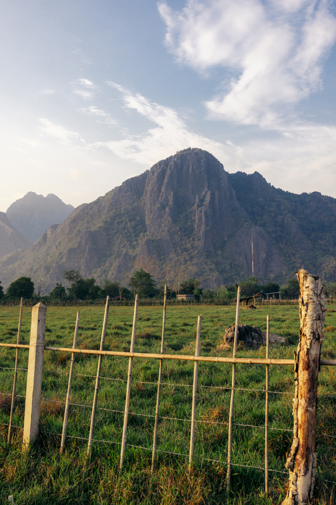
The end of this road trip begins here, heading the Vang Vieng, the last stop before returning to Vientiane.
The road to get to Vang Vieng from Luang Prabang was very nice.
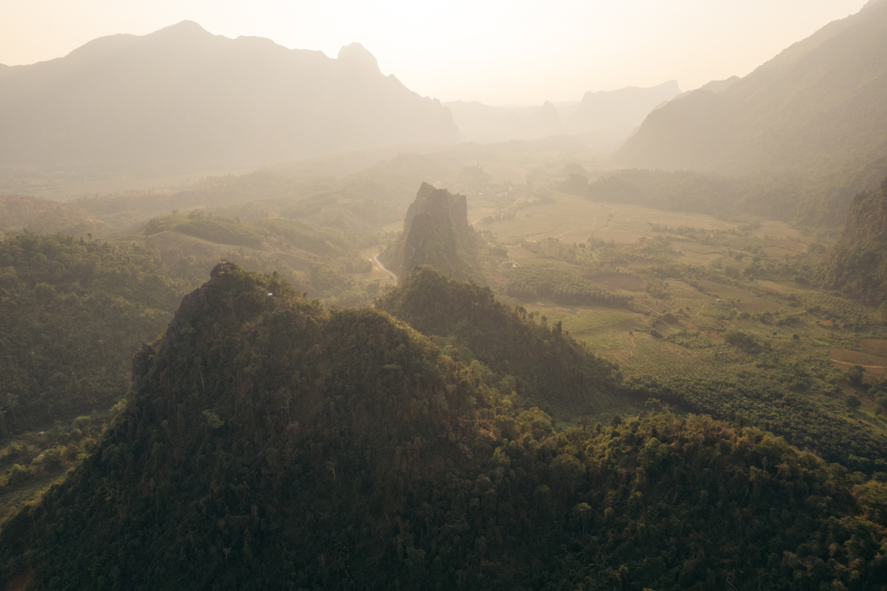

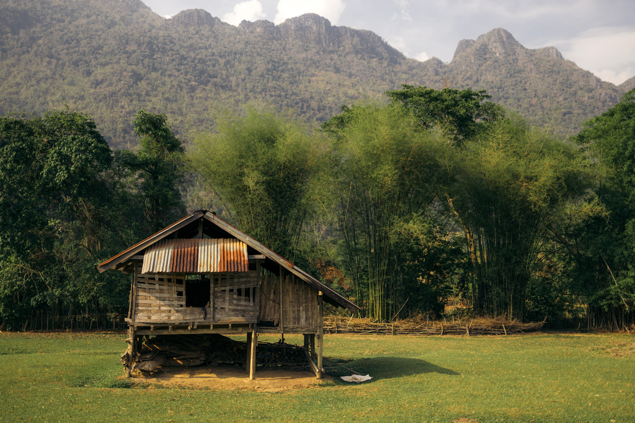
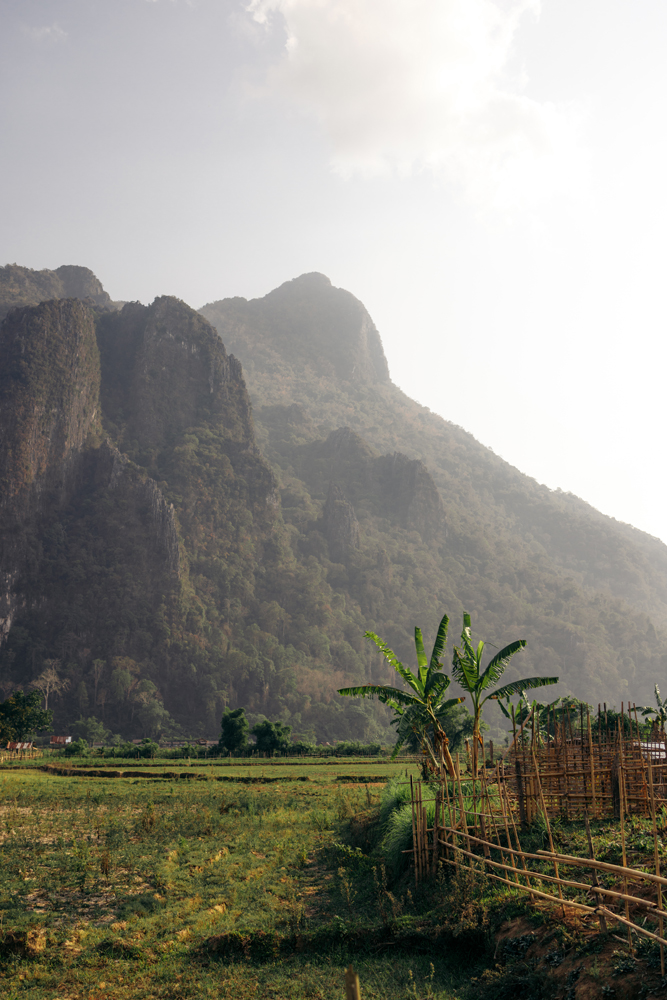
The famous lagoons of Vang Vieng.

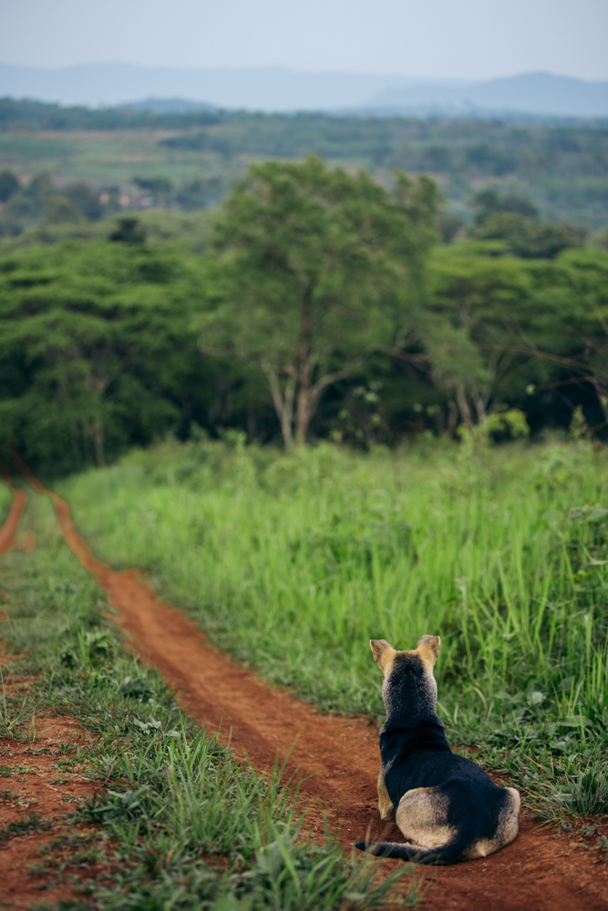
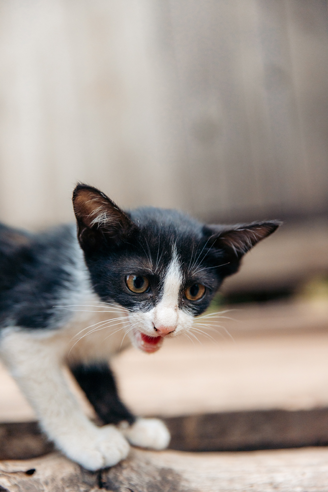
This little one was quite the reliable companion for the ride.
The last 2 reels from Vang Vieng and also Laos for now. Day 1 in Vang Vieng. Day 2 in Vang Vieng.
In the end, Laos was fun, but not my favorite country in SEA. There’s a lot of beauty there but it seems like I saw better of almost everything in other countries in SEA. But this is a good place to start your SEA travels if you’re a beginner in the region.
Maybe one day I’ll go back to visit the northern part of the country. See ya on the next one 🙂